Kauaʻi hikes & walks
HIKE EXPLORER
All hikes & walks
18 on Kauaʻi · 104 statewide
Top hikes on Kauaʻi
 #1Featured
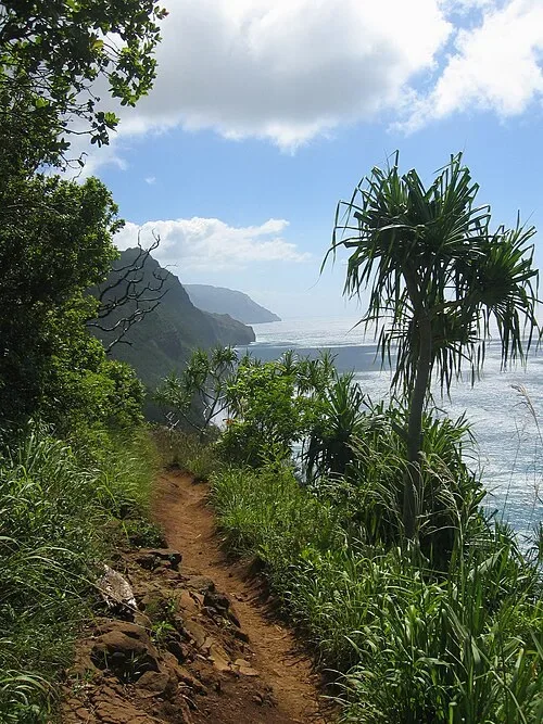
Kalalau Trail to Hanakāpīʻai
North Shore · Challenging
- Strenuous
- 4 mi round trip
- Interactive map
The first two miles of the Kalalau Trail from Kēʻē to Hanakāpīʻai Beach, about 4 miles round trip. Hanakāpīʻai Falls is a longer inland extension.
Advance Hāʻena State Park reservation required for non-residents. Book Hāʻena reservations
Day-use hiking to Hanakāpīʻai has reopened. Check park entry requirements and same-day conditions before going.
Photo credit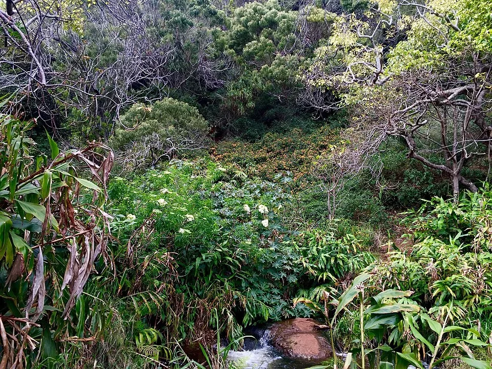 #2Featured
Canyon Trail
Waimea Canyon · Moderate to challenging
A canyon-country route; use official maps for route choice and closures.
Photo credit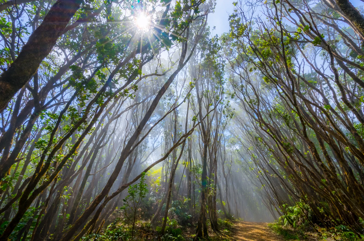 #3Featured
Pihea Trail
Kōkeʻe · Challenging
- Moderate
- 2 mi round trip for this section
- Interactive map
Kalalau Valley views and muddy forest terrain. Choose a turnaround before committing to longer connections.
Photo credit #4Featured
Nuʻalolo Trail
Kōkeʻe · Challenging
- Difficult
- 7.6 mi round trip
- Interactive map
A steep descent toward valley views, followed by a demanding return. Stop before exposed edges.
Photo credit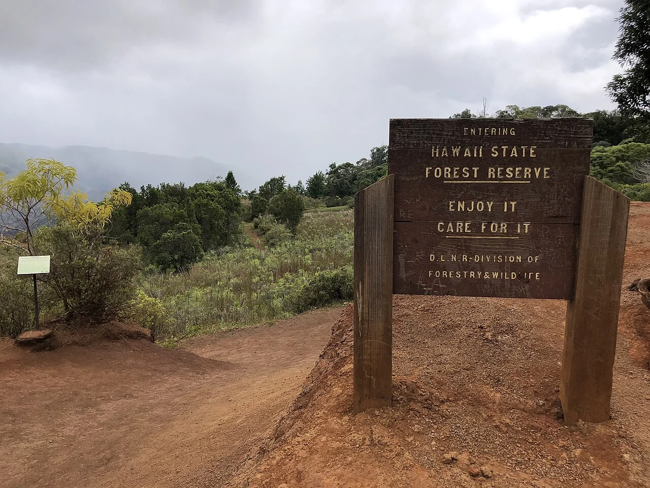 #5Featured
ʻIliau Nature Loop
Waimea Canyon · Short nature walk
- Easy
- 0.3 mi loop
- Interactive map
A compact nature trail near the canyon. Ask the museum about current trail conditions.
Photo credit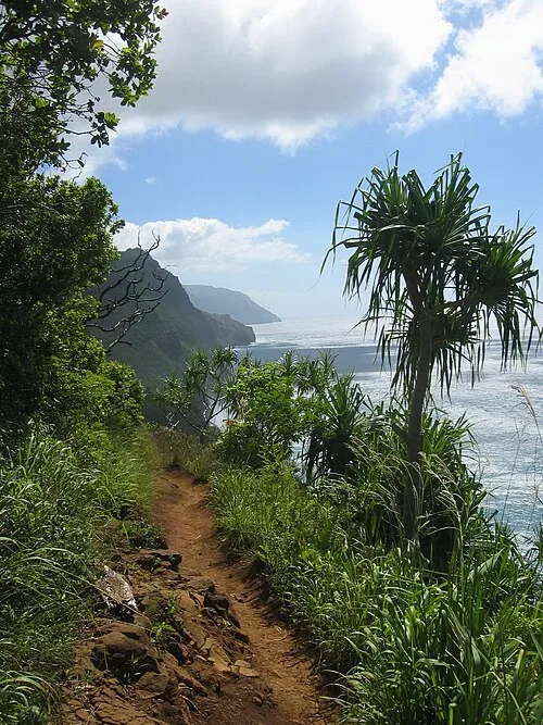 #6
Kalalau Trail — full route
Nāpali Coast · Expert backpacking
- 22 mi
An exposed 11-mile one-way backpacking route from Kēʻē to Kalalau Valley. Access beyond Hanakāpīʻai on the main trail requires a valid camping permit.
Kalalau camping permit required beyond Hanakāpīʻai, even if you don’t plan to camp. Book a Kalalau camping permit
Reopened to permitted overnight camping November 2, 2026. The full route is not a day hike.
Photo credit #7
Awaʻawapuhi Trail
Kōkeʻe · Challenging
- Difficult
- 2 mi round trip at most for the open section
- Interactive map
Kōkeʻe forest hike. For now, turn around at the first mile marker; the coastal overlook is beyond the open section.
Partial access: DLNR reopened the first mile only. The remainder is closed.
Photo credit #8
Cliff Trail
Waimea Canyon · Short walk
A canyon viewpoint walk. Confirm your starting point and current conditions.
Photo credit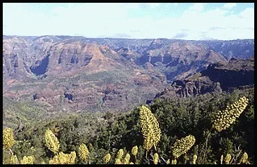 #9
Black Pipe Trail
Kōkeʻe · Connecting trail
A route in the canyon trail network. Plan it using a current park map.
Photo credit #10
Alakaʻi Swamp Trail
Kōkeʻe · Challenging
Boardwalks cross fragile bog habitat toward Kilohana. Access routes change total distance; avoid poor weather.
Photo credit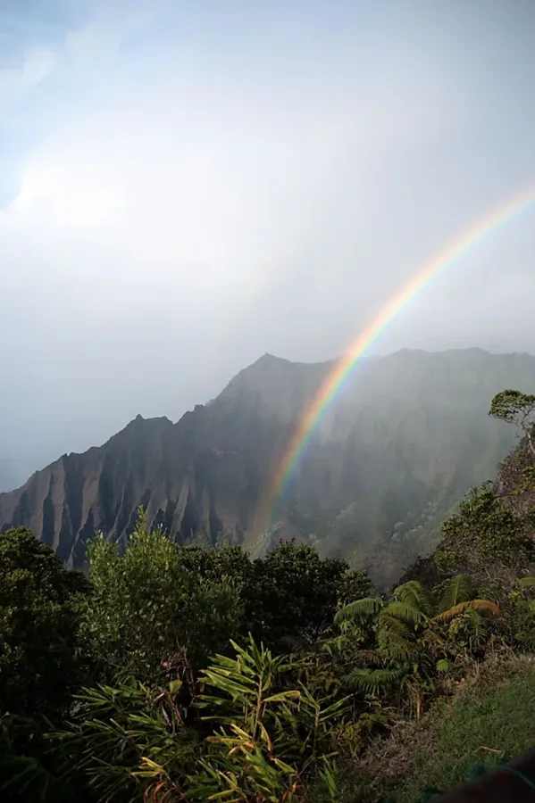 #11
Kaluapuhi Trail
Kōkeʻe · Gentler forest trail
Look for native plants and birds. Return along the trail rather than the narrow road shoulder.
Photo credit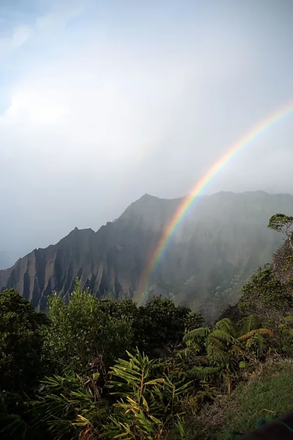 #12
Kōkeʻe Nature Trail
Kōkeʻe · Easy short loop
A roughly 900-foot forest loop that begins behind the Kōkeʻe Natural History Museum.
Kōkeʻe State Park reopened for daytime use on November 7, 2026. Current conditions on the museum loop have not been confirmed.
Photo credit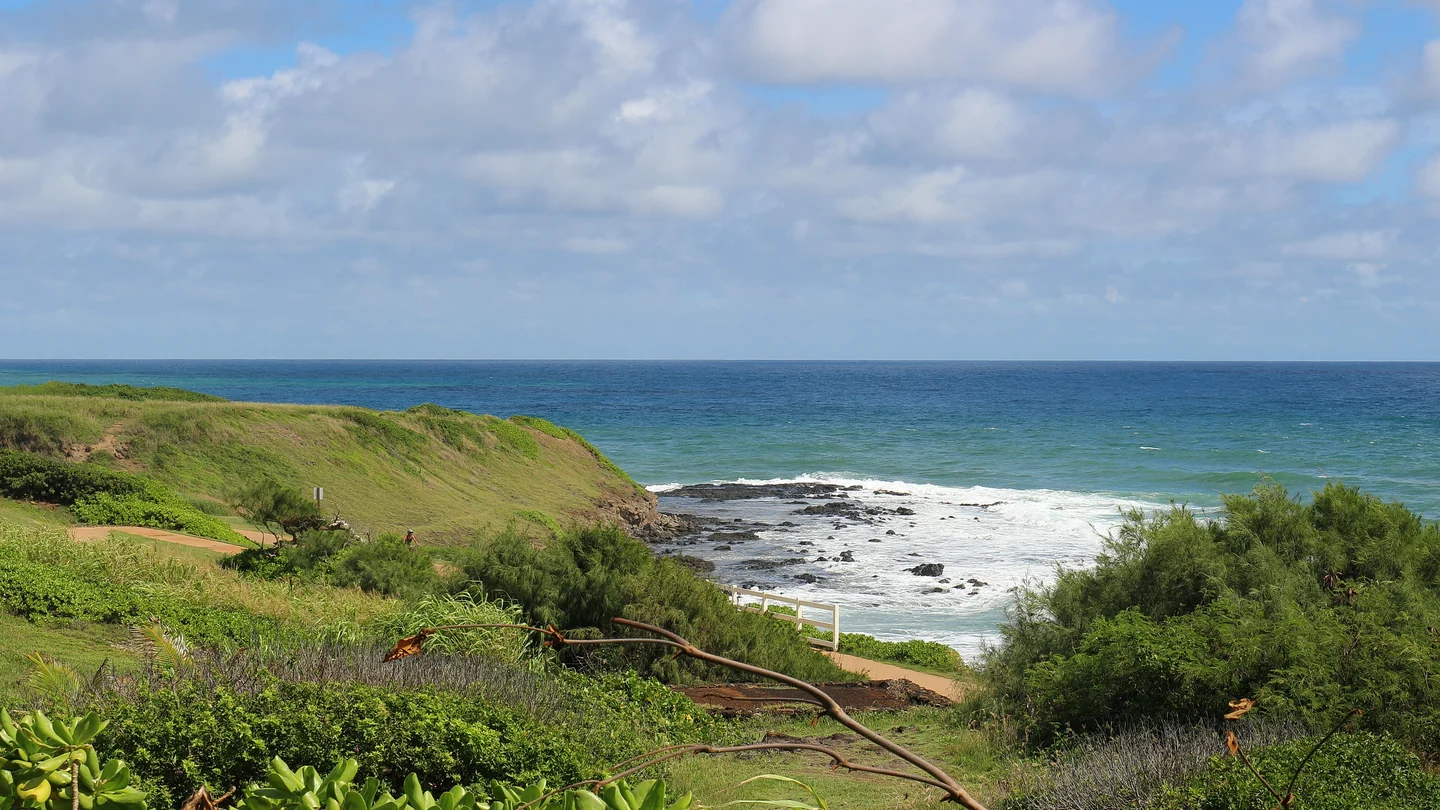 #13
Ke Ala Hele Makālae (Kapaʻa Coastal Path)
East Side · Paved shared-use walk
An oceanfront walking and cycling path on the Royal Coconut Coast, with sections around Kapaʻa, Keālia and Lydgate.
Public shared-use path. Check posted conditions for the section you choose.
Photo credit- Trail guide#14
Wai Koa Loop Trail
Kīlauea · Mostly level walk · Waiver required
A roughly 4.3-mile round-trip walk from Anaina Hou Community Park, through pasture and mahogany forest to the historic Kīlauea Stone Dam.
Public trail access from Anaina Hou; complete the operator waiver before entering.
 #15
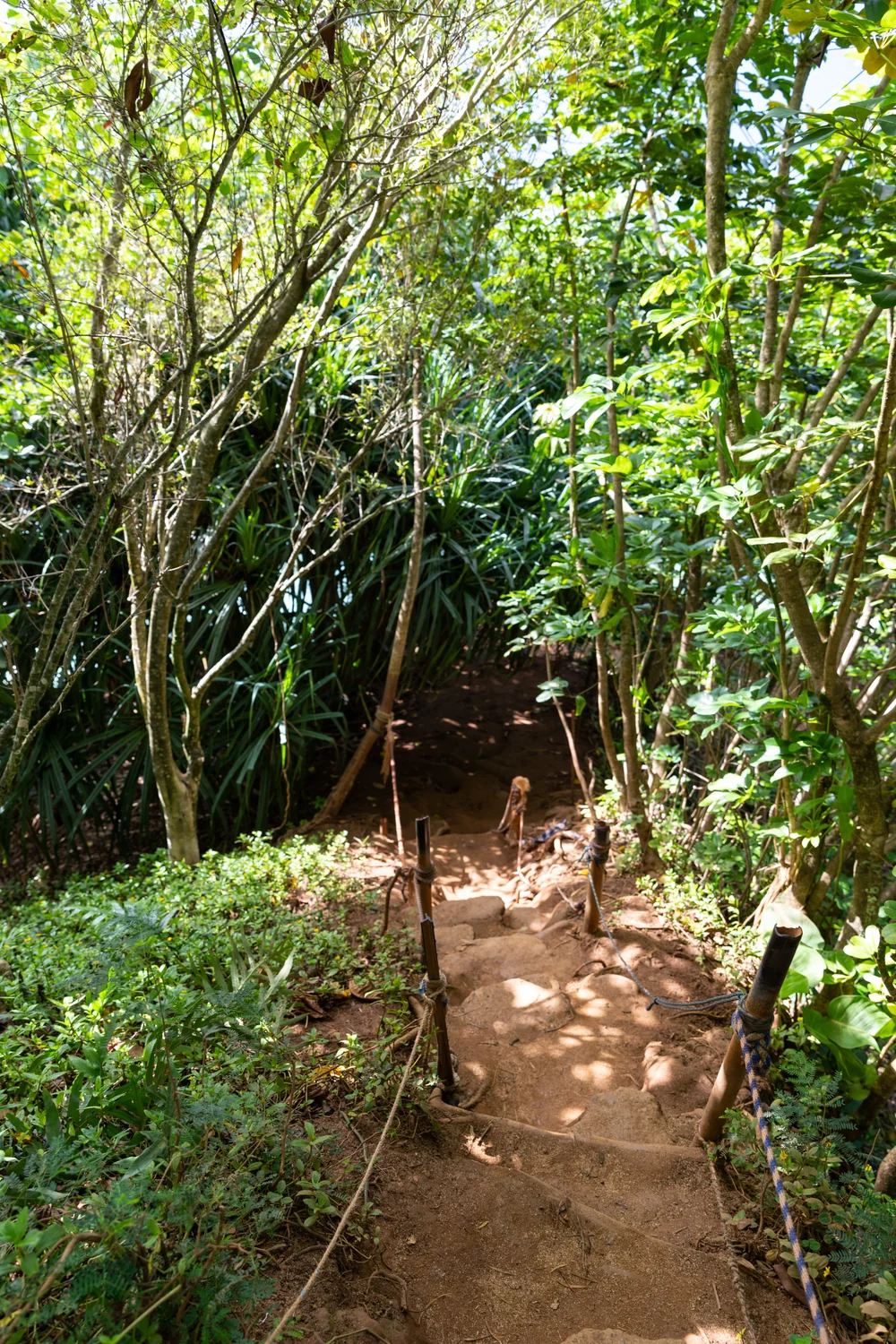
Kaumumene Trail (Hideaways Trail)
Princeville · Steep beach access
A short, steep public path down to Hideaways Beach in Princeville, rehabilitated by Kauaʻi County after Hurricane Lowell.
Kauaʻi County announced public reopening on September 25, 2026.
Photo credit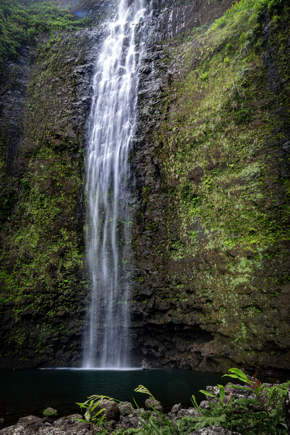 #16
Hanakāpīʻai Falls via Kalalau Trail
Hāʻena · Strenuous waterfall extension
- Strenuous
- 8 mi round trip
- Interactive map
An approximately 8-mile round-trip day hike from Kēʻē, sharing the first two miles with the Hanakāpīʻai Beach hike before continuing inland on the waterfall spur.
Advance Hāʻena State Park reservation required for non-residents. Book Hāʻena reservations
Go Hāʻena lists the falls as included in Hāʻena day-use access; check same-day stream and trail conditions.
Photo credit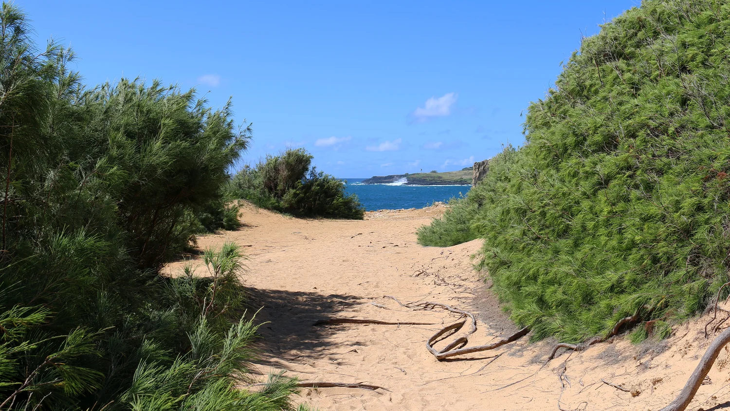 #17
Māhāʻulepū Heritage Trail
Poʻipū · Exposed coastal hike
A south-shore coastal walk from Keoneloa (Shipwreck Beach) toward Māhāʻulepū, past wind-carved limestone and open ocean views.
Grove Farm identifies the coastal footpath as open to the public; check signs on the day.
Photo credit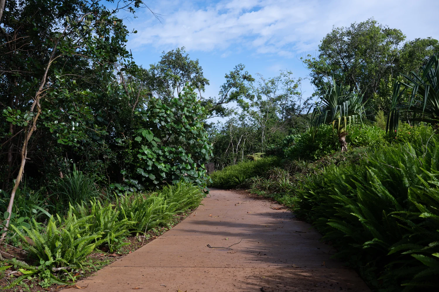 #18
Hanalei National Wildlife Refuge Viewpoint Walk
Princeville · Short interpretive lookout walk
A short walk through native plantings to two public overlooks of Hanalei Valley and the protected refuge below.
The Fish and Wildlife Service lists the viewpoint open Tuesday–Saturday; the protected valley is not open to general public access.
Photo credit


