Nuʻalolo Trail
A steep descent toward valley views, followed by a demanding return. Stop before exposed edges.
Getting there
Plan B: If access changes, consider this other outing on Kauaʻi. ʻIliau Nature Loop. Check its access and weather first. If weather is hazardous, skip outdoor alternatives.
Plan your visit
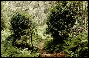
Use the signed Nuʻalolo trailhead lot along Highway 550 near Kōkeʻe State Park Headquarters. Follow the Nuʻalolo Trail out and back. Treat exposed lookout edges as hazardous, especially in rain or poor visibility. Do not connect to Nuʻalolo Cliffs or Awaʻawapuhi.
Trail details
- Difficulty: Difficult
- Route distance: 7.6 miles round trip
Distances refer to the route described above. Check posted access and conditions.
Interactive trail map
Follow the highlighted route from the public trailhead to Lolo Vista on Nuʻalolo Ridge. Select a pin or use the zoom controls for detail.
This is the reopened Nuʻalolo Trail only; it is not the former loop via the closed Nuʻalolo Cliffs Trail. Stay back from canyon edges and obey all posted restrictions.
If the interactive map does not load, use the trail guidance and links on this page.
Route data © OpenStreetMap contributors (ODbL). Route and access reviewed 2026-11-17. Follow posted closures and trail signs.