Pihea Trail
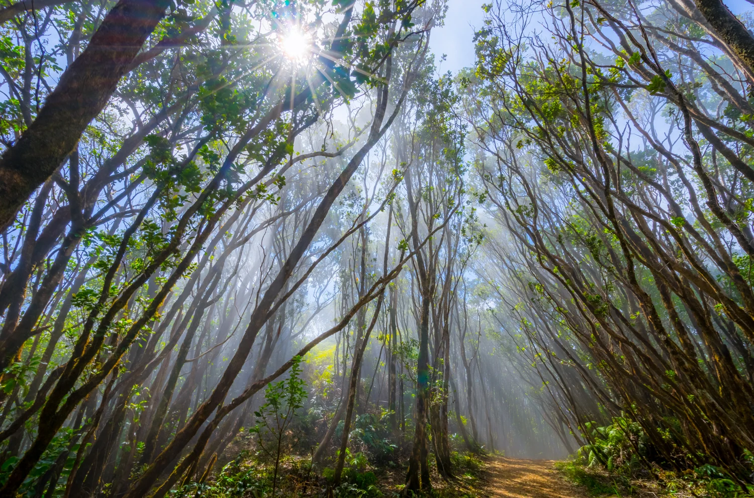
Kalalau Valley views and muddy forest terrain. Choose a turnaround before committing to longer connections.
Getting there
Plan B: If access changes, consider this other outing on Kauaʻi. ʻIliau Nature Loop. Check its access and weather first. If weather is hazardous, skip outdoor alternatives.
Plan your visit
Use the signed Pihea Trail access at the end of Highway 550 at Puʻu o Kila Lookout. This map shows a short out-and-back only. Stay on the marked route and turn back in deep mud. Roadwork can reduce parking; check park signs and closures before driving.
Trail details
- Difficulty: Moderate
- Route distance: 2 miles round trip for this section
Distances refer to the route described above. Check posted access and conditions.
Interactive trail map
Follow the highlighted route from the public trailhead to the upper-ridge turnaround before the Pihea Overlook spur. Select a pin or use the zoom controls for detail.
This map shows about one mile of the named trail each way. It intentionally stops on the ridge before the Pihea Overlook spur and does not route onto the longer Alakaʻi or closed Kawaikoi connections.
If the interactive map does not load, use the trail guidance and links on this page.
Dashed line: Short path from the Puʻu o Kila parking area to the signed Pihea Trail start.
Route data © OpenStreetMap contributors (ODbL). Route and access reviewed 2026-11-17. Follow posted closures and trail signs.