Oʻahu hikes & walks
HIKE EXPLORER
All hikes & walks
28 on Oʻahu · 104 statewide
Top 10 hikes on Oʻahu
 #1Top 10
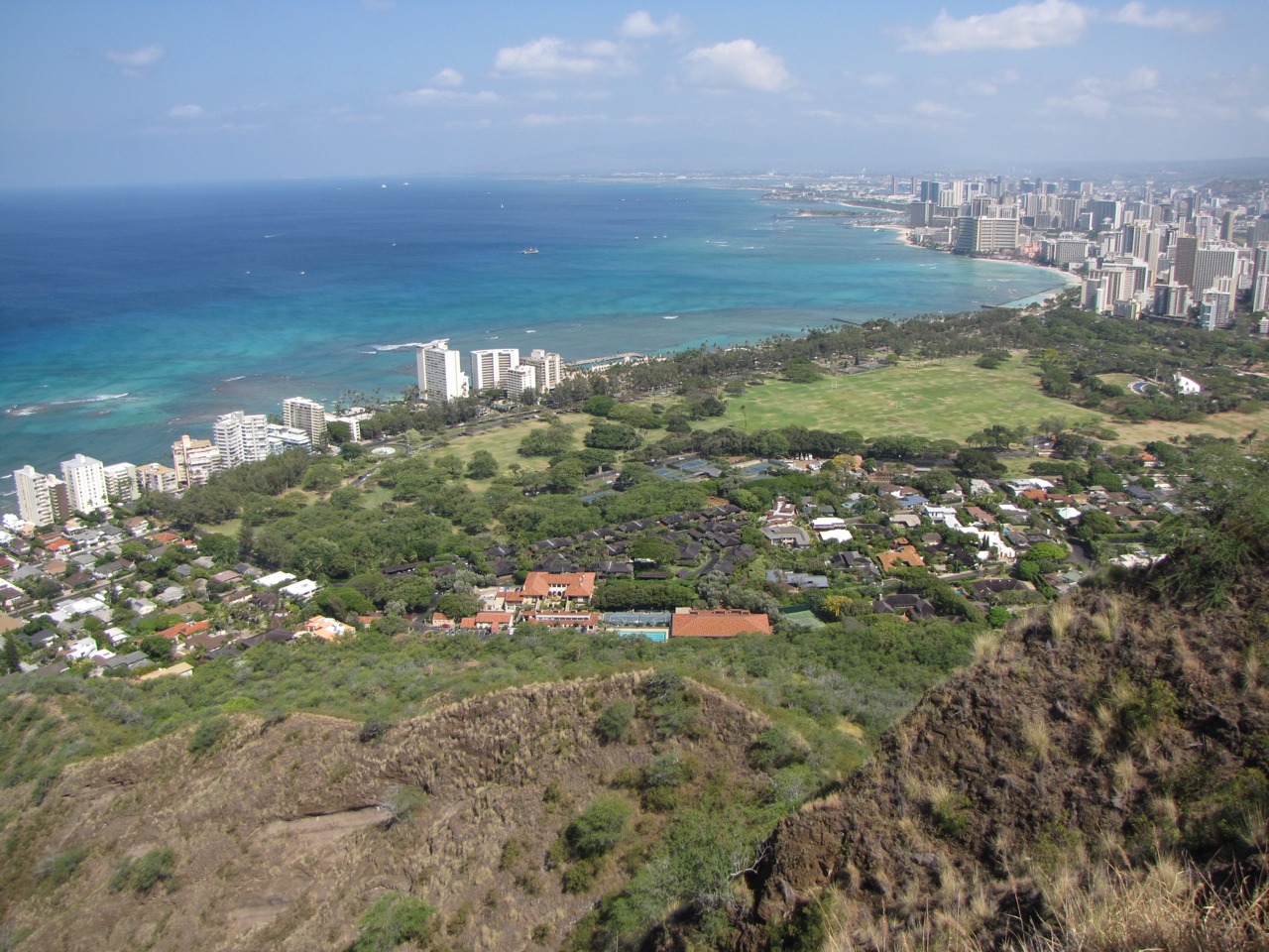
Lēʻahi / Diamond Head
Honolulu · Moderate
- Interactive map
Crater stairs and ocean views above Waikīkī.
Advance entry reservation required for non-residents. Book Diamond Head reservations
Photo credit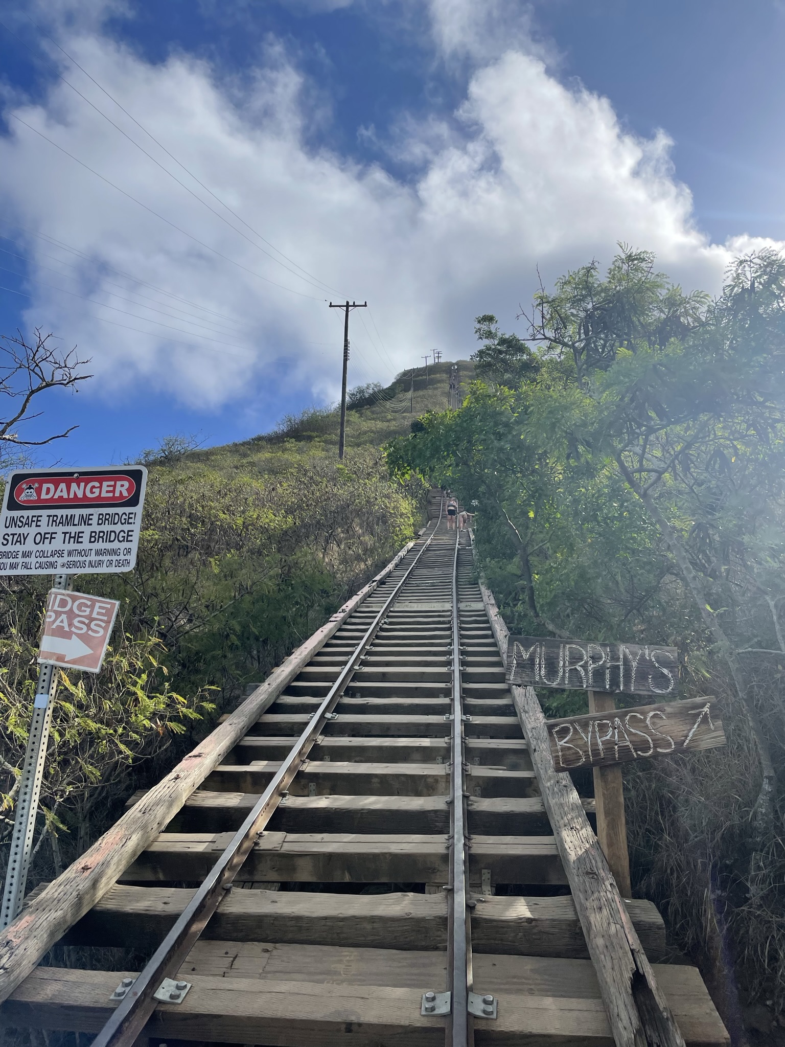 #2Top 10
Koko Crater Railway Trail
Hawaiʻi Kai · Strenuous stairs
- Interactive map
Climb a steep, exposed former tramway from Koko Head District Park. Return down the same stairs.
Photo credit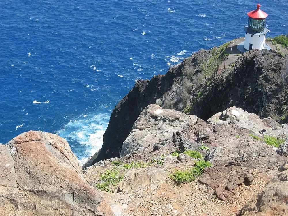 #3Top 10
Makapuʻu Lighthouse Trail
East Oʻahu · Paved incline
- Easy
- 2.0 mi
- Interactive map
An exposed coastal climb with lighthouse views. Bring water and sun protection.
Photo credit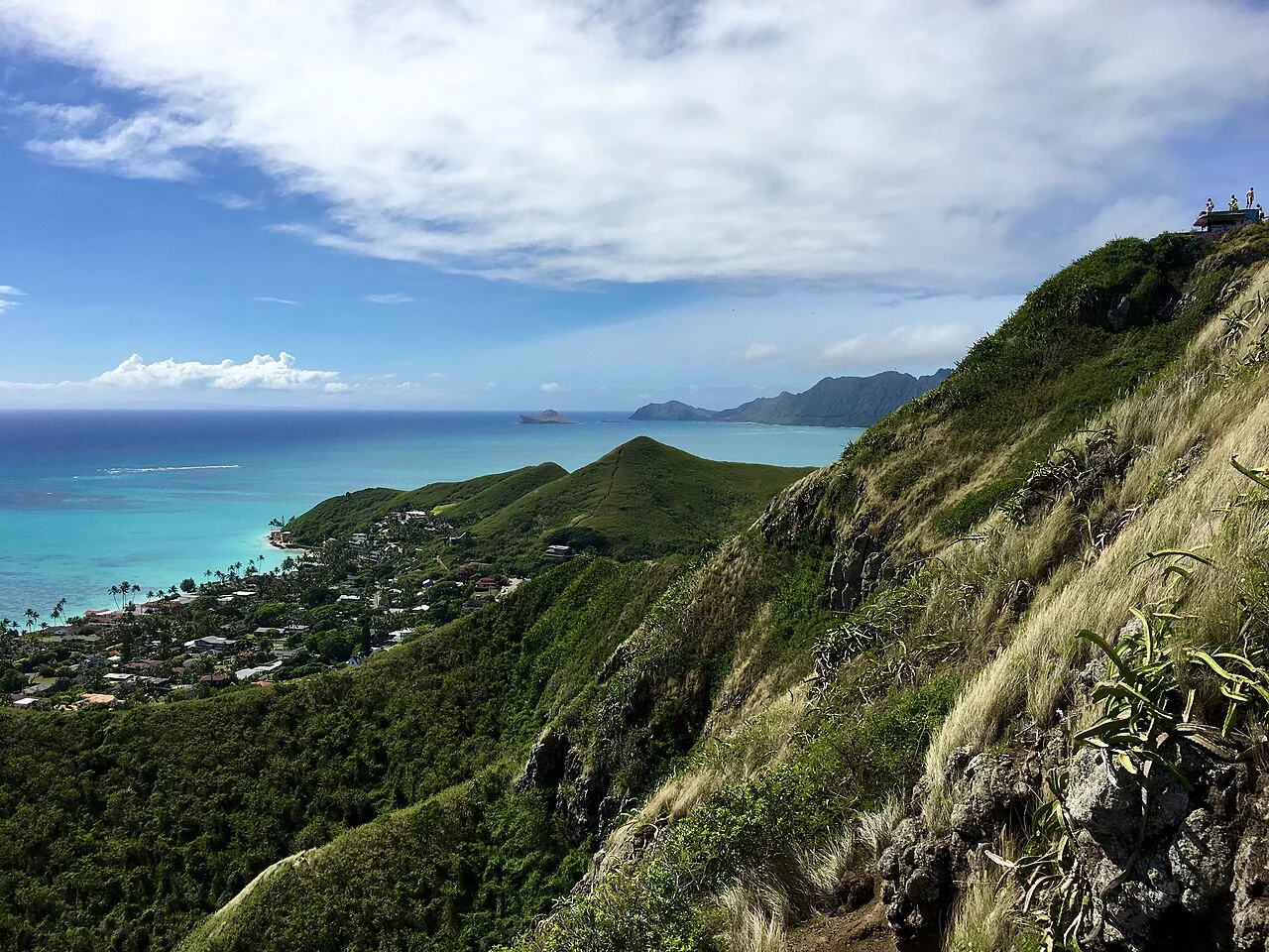 #4Top 10
Lanikai Pillboxes via Kaʻiwa Ridge Trail
Kailua · Exposed ridge hike
A steep climb above Kaʻōhao to historic observation stations and views of the Mokulua Islands.
Photo credit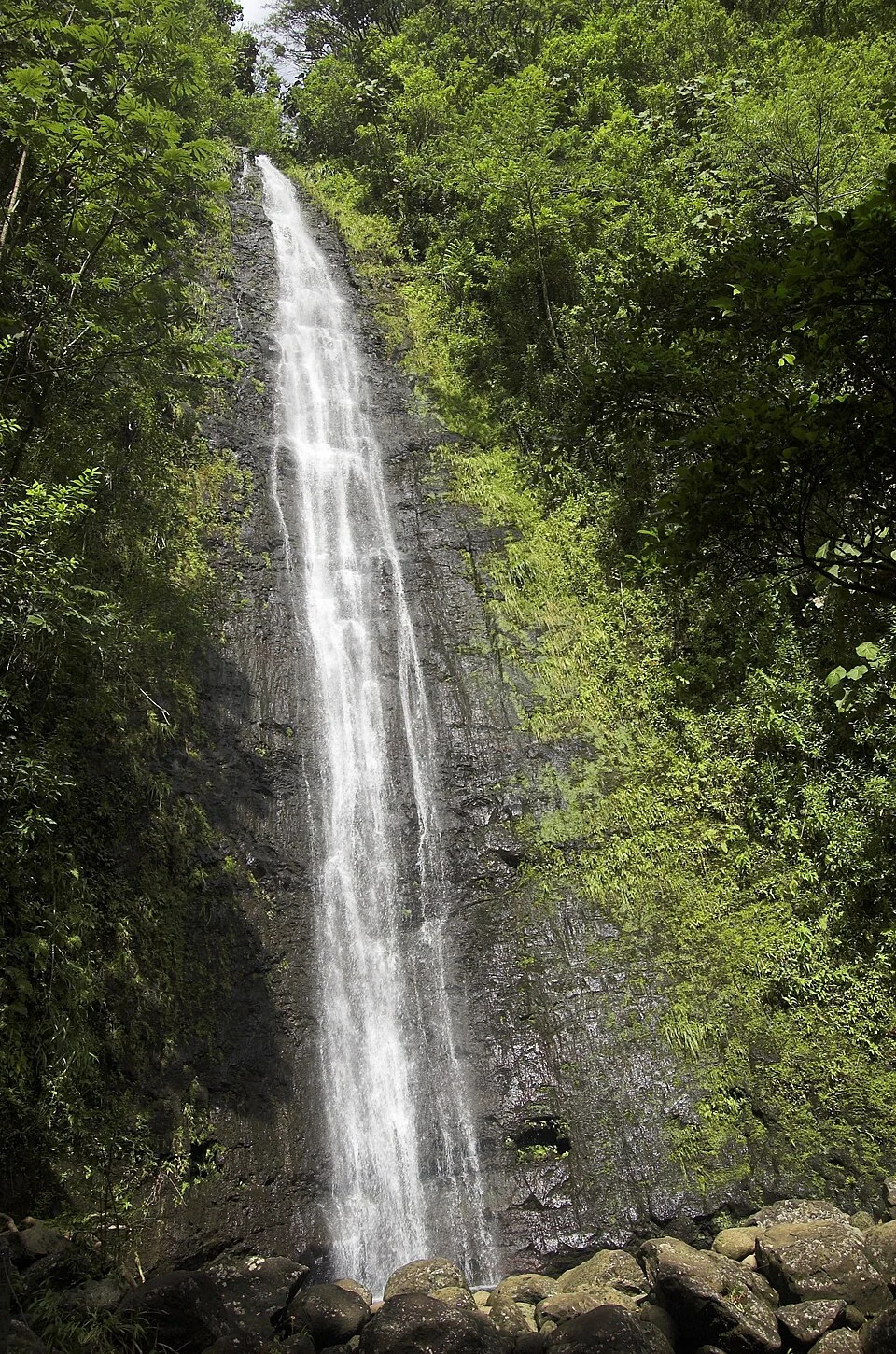 #5Top 10
Mānoa Falls
Honolulu · Forest trail
- Moderate
- 1.8 mi
- Interactive map
A rainforest walk to a waterfall viewpoint. Expect mud; avoid the pool.
Photo credit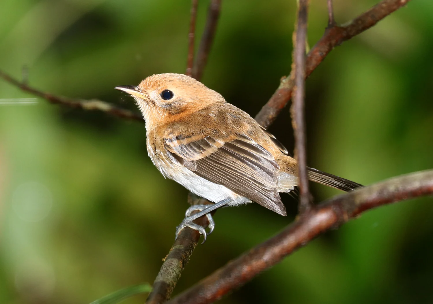 #6Top 10
ʻAiea Loop Trail
Central Oʻahu · Moderate
- Moderate
- 4.8 mi
- Interactive map
A forest circuit with valley views. Mud can make footing difficult.
Photo credit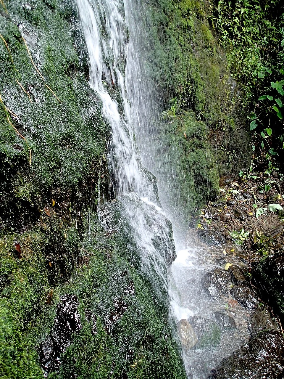 #7Top 10
Lulumahu Falls
Nuʻuanu · Waterfall · Day-use permit
A forest waterfall in a restricted watershed. Book the required day-use permit before visiting.
State day-use permit required for Lulumahu Falls. Get a Lulumahu Falls permit
Photo credit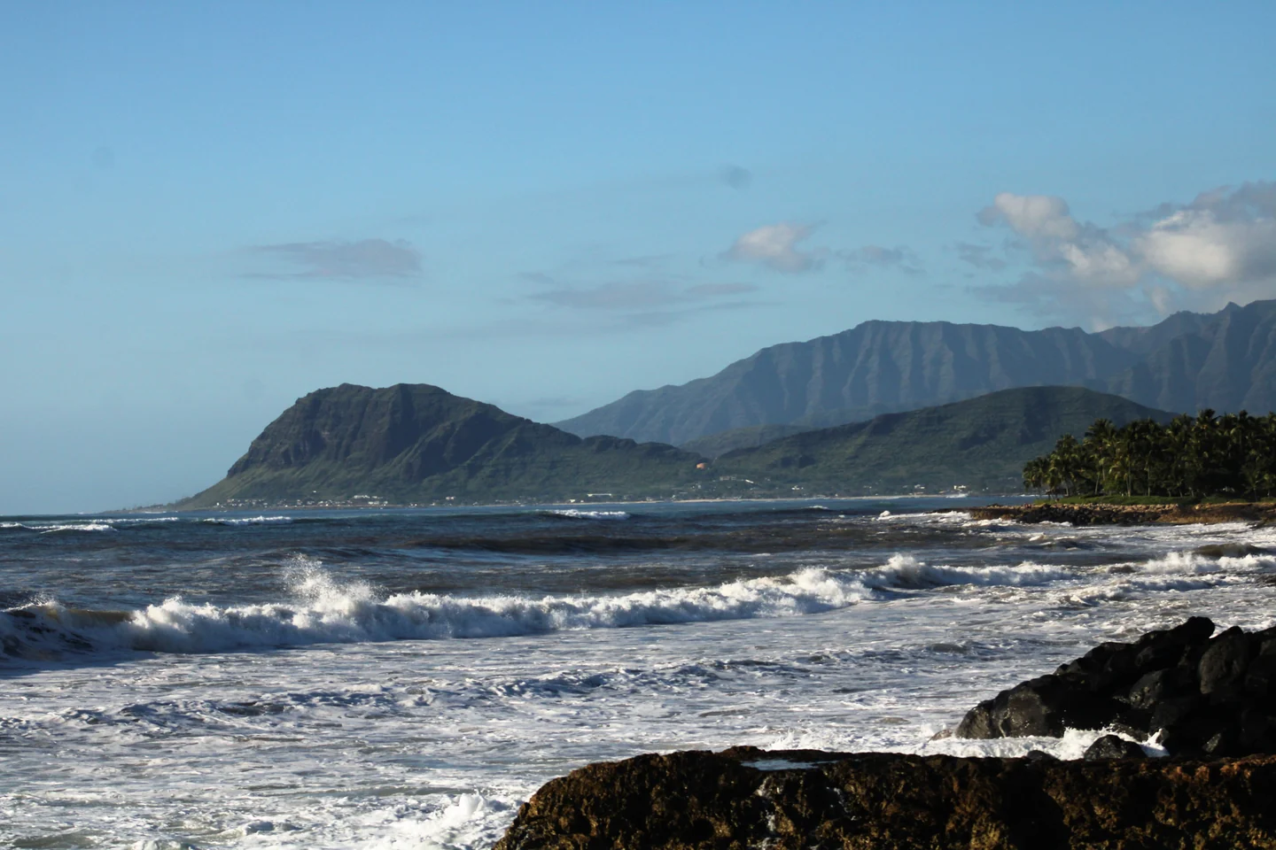 #8Top 10
Puʻu O Hulu (Westside Pink Pillbox)
Māʻili · Access note
- Access note
The Pink Pillbox overlooks Oʻahu’s Waiʻanae coast. Hawaiʻi Tourism Authority describes the route as informal and not part of Nā Ala Hele.
Public access and legal parking are unverified.
Photo credit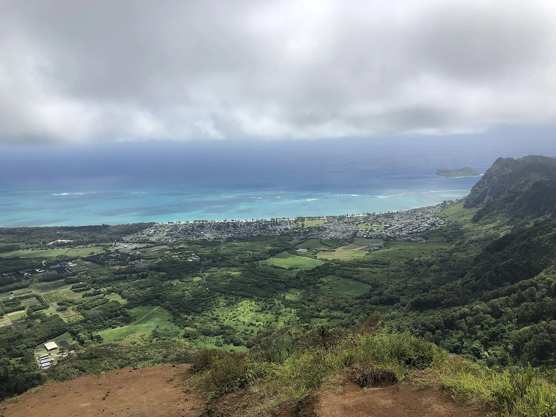 #9Top 10
Kuliʻouʻou Ridge Trail
East Oʻahu · Steep ridge hike
- Hard
- 5.0 mi
- Interactive map
Climb forest switchbacks and steps toward Koʻolau views. The upper ridge is eroded in places; respect the signed endpoint.
Photo credit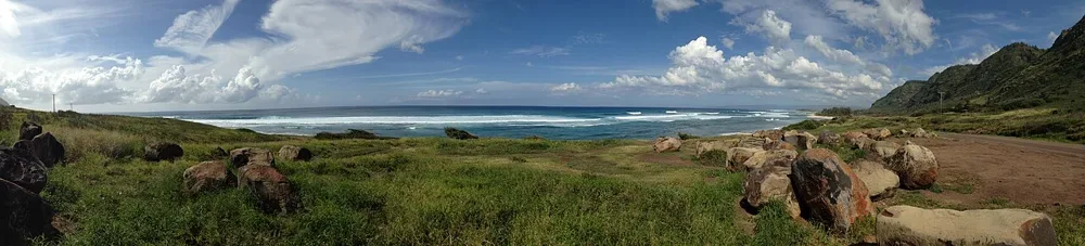 #10Top 10
Kaʻena Point
North Shore · Mokulēʻia coastal trail
- 5 mi
An exposed coastal hike to Kaʻena Point from the Mokulēʻia side. The west-side Keawaʻula approach is closed.
North-side Mokulēʻia access is the route shown here. The west-side Keawaʻula Trail remains closed.
Photo credit #11
Waimano Falls
Pearl City · Access note
- Access note
The waterfall is reached by an informal spur off the public Mānana Trail. Public access to the spur has not been verified.
Public access is unverified for the waterfall spur.
Photo credit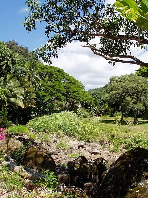 #12
Waimea Valley Walk
North Shore · Paved walk
A botanical and cultural valley walk. Admission and access rules apply.
Photo credit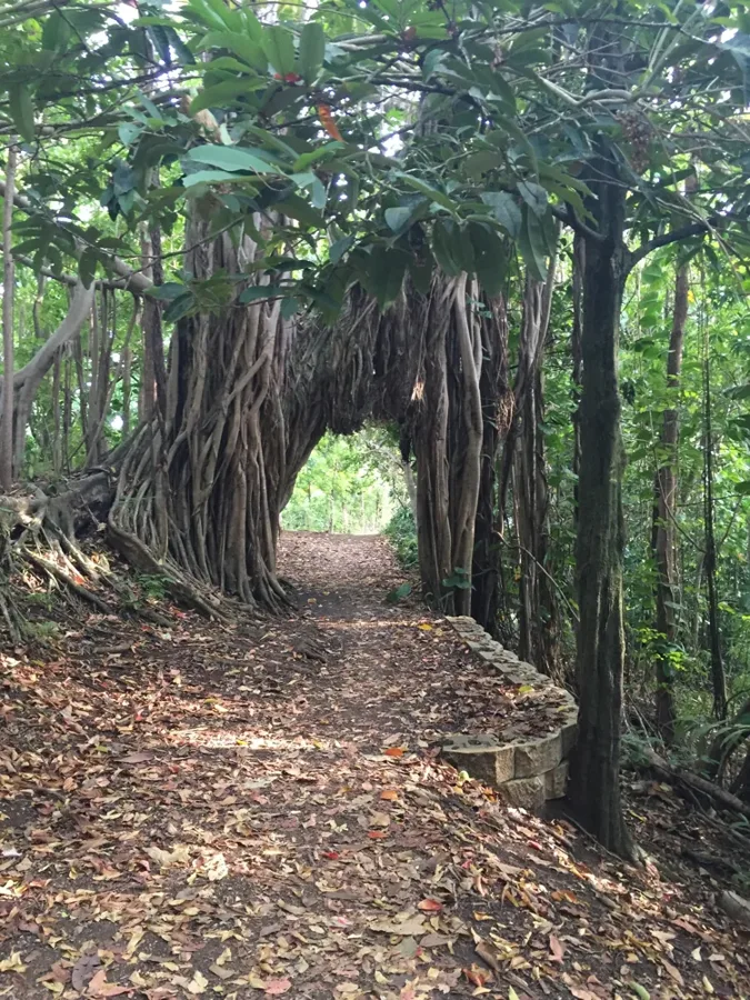 #13
Makiki Forest Trails
Honolulu · Variable routes
Choose a marked forest route suited to your ability.
Photo credit- Trail guideSee Nākoa Trail photos#14
Nākoa Trail
Kahana Valley · Moderate to difficult
- Moderate to difficult; unbridged crossings
- 2.5 mi
- Interactive map
A rainforest loop with three unbridged crossings in Ahupuaʻa ʻO Kahana State Park. Check rain and stream conditions before leaving.
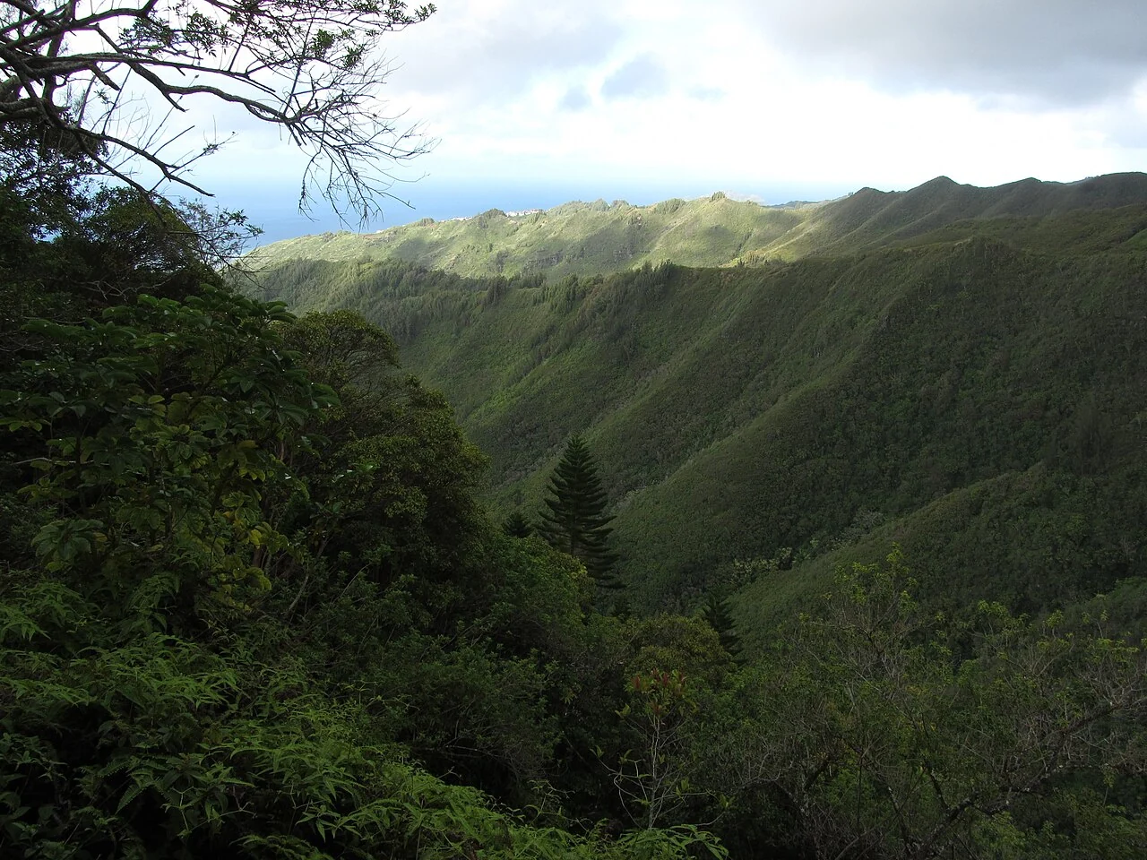 #15
Kuliʻouʻou Valley Trail
East Oʻahu · Forest walk
Follow the valley beneath a thick canopy. Turn around at the end of the maintained trail near the stream.
Photo credit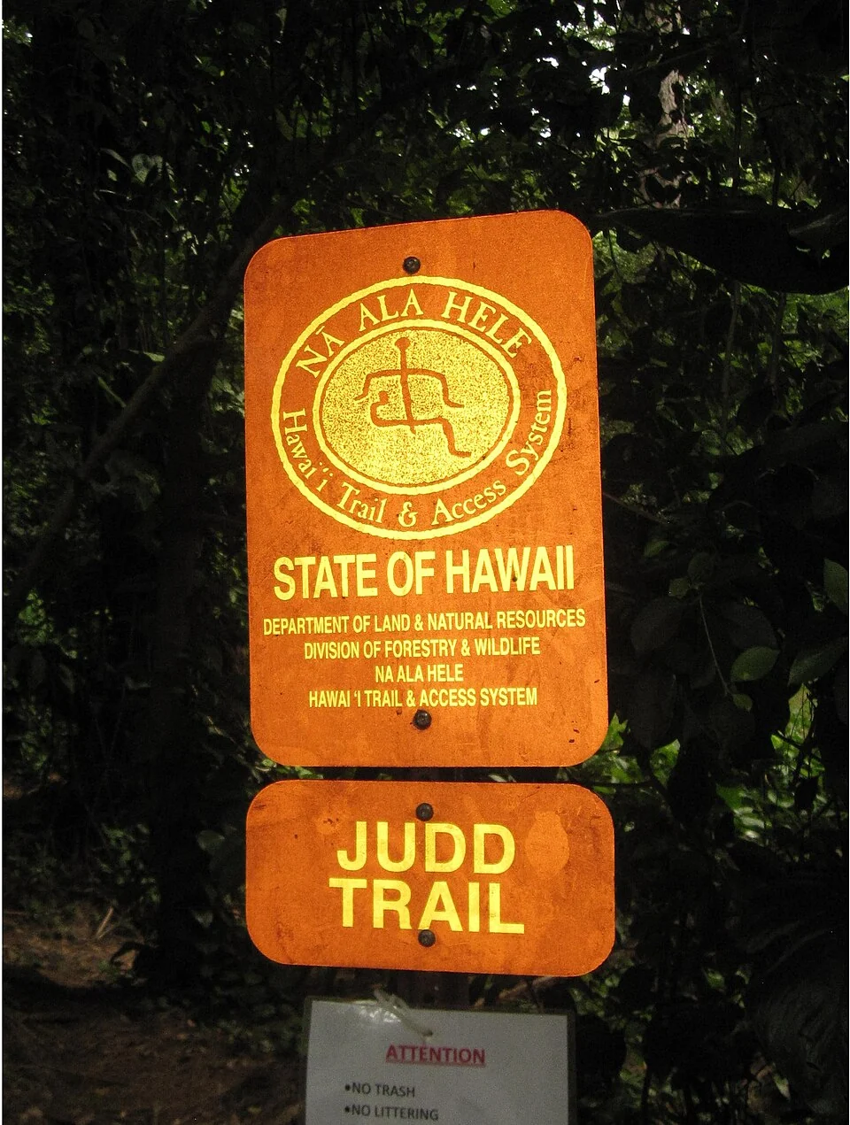 #16
Judd Trail
Nuʻuanu · Forest loop
- Stream crossing; can be slippery
- Interactive map
A shaded loop through bamboo and Cook pines. The route crosses a stream; postpone the walk during heavy rain or high water.
Photo credit- Trail guideSee DLNR’s trail photos#17
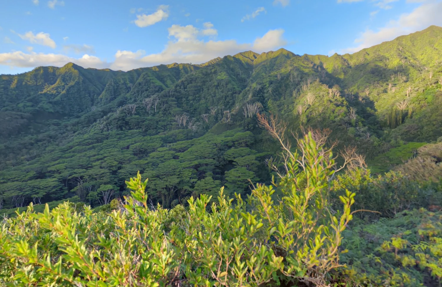
Hauʻula Loop Trail
Windward Oʻahu · Hilly forest loop
Wind through ironwoods, gullies, and ridge viewpoints. Expect uneven steps and stream crossings; follow the signed loop.
DLNR has a storm-damage advisory for Hauʻula Loop. The neighboring Maʻakua Ridge–Papali Trail and hunting Unit C are closed for little fire ant control.
 #18
Puʻu Pia Trail
Mānoa · Forest climb
A gradual woodland climb to a grassy summit clearing. Use the marked Puʻu Pia junction and respect neighborhood parking.
Photo credit- Trail guide#19
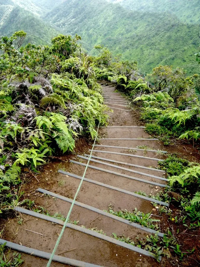
Waʻahila Ridge Trail
Honolulu · Rocky ridge hike
- Interactive map
Cook pines give way to rough ridge terrain and native forest. Turn back at the signed trail end near Kolowalu.
 #20
Wiliwilinui Ridge Trail
East Honolulu · Steep ridge hike
An access road leads to steps and summit views. Check in at the security gate; expect rutted, slippery sections.
Photo credit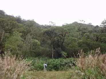 #21
Kamananui Valley Road
Moanalua · Valley walk
Follow an old carriage road past stone bridges. Longer outings cross streams. Stay on this valley route; Haʻikū Stairs access is prohibited.
Photo credit- Trail guide#22
Kapaʻeleʻele Trail
Kahana, Windward Oʻahu
A short hillside loop in Ahupuaʻa ʻO Kahana State Park with views over Kahana Bay and the stone walls of Huilua Fishpond. The trail passes places connected to traditional fishing, including a fishing shrine and a lookout.
Public state-park trail. Check posted conditions before leaving the parking area.
- Trail guide#23
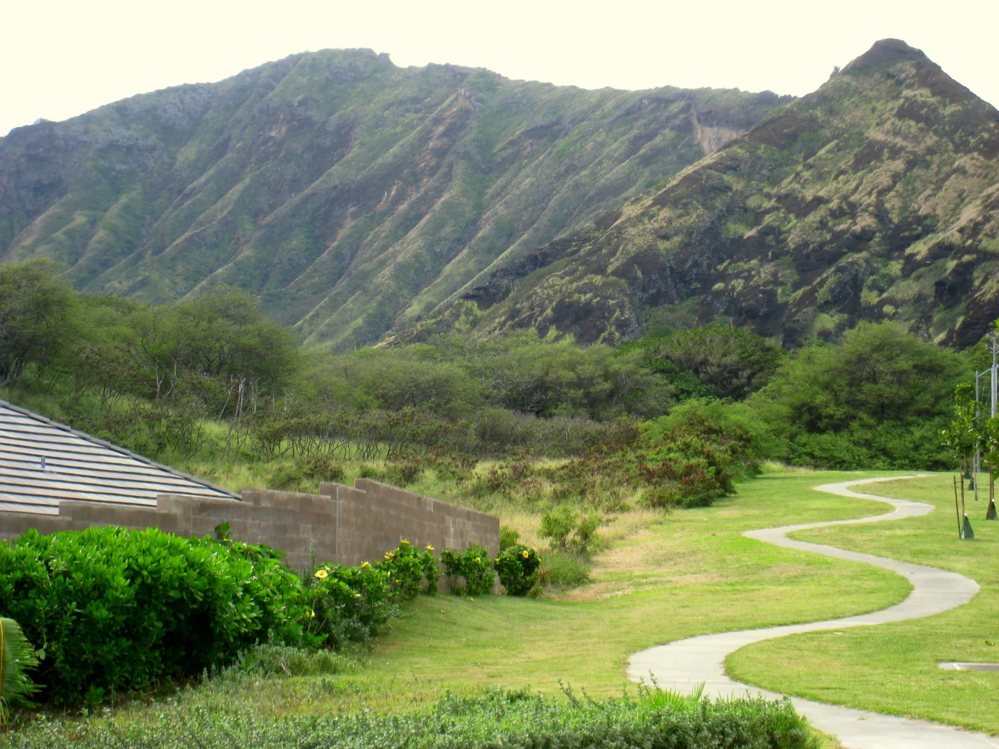
ʻUalakaʻa Trail
Round Top, Honolulu
A wooded loop at Puʻu ʻUalakaʻa State Wayside on Round Top Drive, separate from the scenic lookout. It reaches a signed junction with other trails in the Makiki network.
Public state-park trail. Check posted gate hours and trail conditions.
 #24
Koko Crater Botanical Garden Loop
Hawaiʻi Kai, East Honolulu
A self-guided two-mile garden walk on the floor of Koko Crater. Discover dryland plants and desert collections without climbing the Koko Crater Railway stairs.
Free admission. Honolulu Parks lists sunrise-to-sunset opening, with holiday closures; check the official garden page before visiting.
Photo credit- Trail guide#25
Keālia Trail
Mokulēʻia, North Shore Oʻahu
- Steep, exposed switchbacks
- 2.3 mi
- Interactive map
A steep series of switchbacks above Kawaihāpai Airfield opens up long views of Oʻahu’s North Shore.
DLNR's October 19, 2026 staff report lists the trail open while longer-term storm repairs are being planned.
- Trail guide#26
Kaunala Trail (West)
Pūpūkea Forest Reserve, North Shore Oʻahu
- Interactive map
A quiet forest trail on the upper North Shore through gulches, ridges and changing vegetation. This listing covers the state-managed west trail, not informal extensions.
Weekend and holiday hiking only per DLNR; the October 2026 trail report records storm repairs.
- Trail guide#27
Poamoho Trail
Central Oʻahu, Koʻolau Range
A remote mountain trail climbing through forest to the Koʻolau ridgeline. This is an advanced outing, with separate controlled access to the road that reaches the trailhead.
Advance access permit required for Poamoho Forest Reserve. Check Poamoho access permits
DLNR's October 19, 2026 staff report lists the road and trail reopened. Gate access remains controlled by permit.
 #28
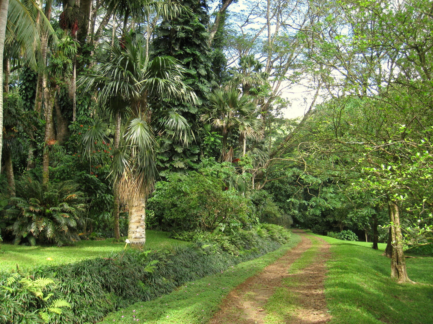
Lyon Arboretum Garden Trails
Upper Mānoa, Honolulu
Follow landscaped garden paths and rain-forest trails in the University of Hawaiʻi’s Lyon Arboretum. This is a separate stop from Mānoa Falls.
Normally open weekdays 9 a.m. to 3 p.m., excluding state and federal holidays; parking reservations are not currently required, but the university may close for construction.
Photo credit


