Kaʻena Point
An exposed coastal hike to Kaʻena Point from the Mokulēʻia side. The west-side Keawaʻula approach is closed.
Getting there
Use the north-side approach from Waialua and start on foot at the gate. The west-side Keawaʻula trail is closed.
Plan B: If access changes, consider this other outing on Oʻahu. Waimea Valley Walk. Check its access and weather first. If weather is hazardous, skip outdoor alternatives.
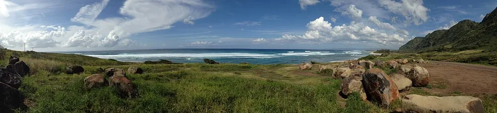
North-side Mokulēʻia access is the route shown here. The west-side Keawaʻula Trail remains closed.
Plan your visit
Use Farrington Highway (Route 930) from Waialua to the parking area past Camp Erdman. Start on foot at the gate. A vehicle permit is required to drive past the gate. Stay on marked paths and keep pets out of the reserve.
Trail details
- Route distance: 5 miles
Distances refer to the route described above. Check posted access and conditions.
Trail map & access
No verified interactive trail line is available for this guide. Use the official trail information and follow posted signs and closures.
Official route details (use Mokulēʻia only)