Kuliʻouʻou Ridge Trail
Climb forest switchbacks and steps toward Koʻolau views. The upper ridge is eroded in places; respect the signed endpoint.
Getting there
Use the links for the signed entrance, current conditions, and any arrival restrictions.
Plan B: If access changes, consider this other outing on Oʻahu. Makapuʻu Lighthouse Trail. Check its access and weather first. If weather is hazardous, skip outdoor alternatives.
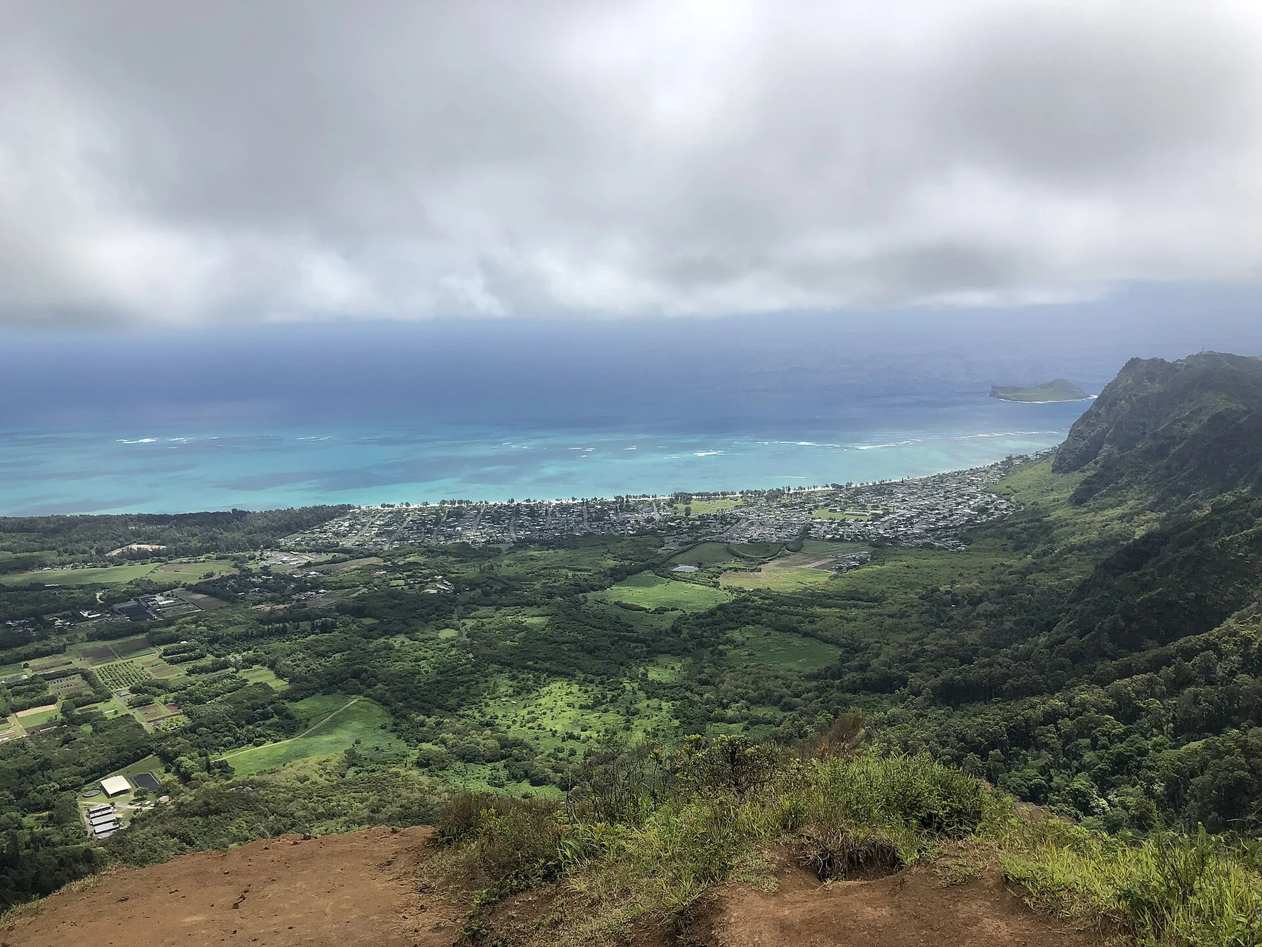
Plan your visit
Walk to the signed gate at the end of Kalaʻau Place. There is no public trail lot. Use only posted legal street parking and leave the cul-de-sac and driveways clear. Take the ridge fork and follow signed trail markers to the turnaround.
Trail details
- Difficulty: Hard
- Route distance: 5.0 miles
- Duration: 3–4 hr
Estimated route. Distance varies by starting point. Check the trail source for access.
Interactive trail map
Follow the highlighted route from the public trailhead to signed ridge turnaround. Select a pin or use the zoom controls for detail.
If the interactive map does not load, use the trail guidance and links on this page.
Route data: Hawaiʻi DLNR / Nā Ala Hele public GIS. Route and access reviewed 2026-11-16. Follow posted closures and trail signs.