Maui hikes & walks
HIKE EXPLORER
All hikes & walks
22 on Maui · 104 statewide
Top 10 hikes on Maui
 #1Top 10
Pīpīwai Trail
Kīpahulu · 4 mi round trip
- Moderately strenuous
- 4 mi round trip
- Interactive map
Forest, bamboo, and a waterfall viewpoint. Moderate to strenuous; obey closures.
Photo credit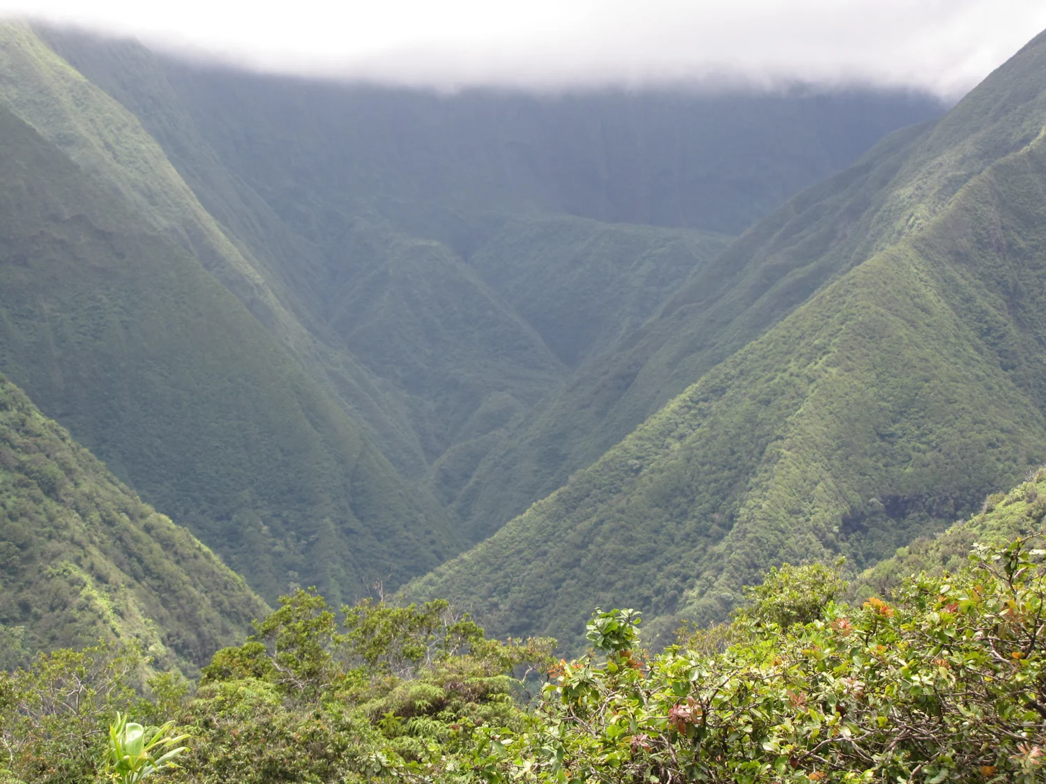 #2Top 10
Waiheʻe Ridge Trail
West Maui · Sustained uphill hike
- Hard
- 4.2 mi
- Interactive map
Climb through forest and fern-covered ridges toward Lanilili. Views depend on cloud cover; muddy footing adds effort.
Photo credit #3Top 10
Sliding Sands / Keoneheʻeheʻe
Haleakalā · Variable distance
- Strenuous to the crater floor
- 7.8 mi round trip to the crater floor
- Interactive map
Choose a turnaround before descending. The high-elevation return is demanding.
Sunrise reservation required for Summit District vehicle entry from 3:00 to 7:00 a.m. HST. Book Haleakalā sunrise on Recreation.gov
Photo credit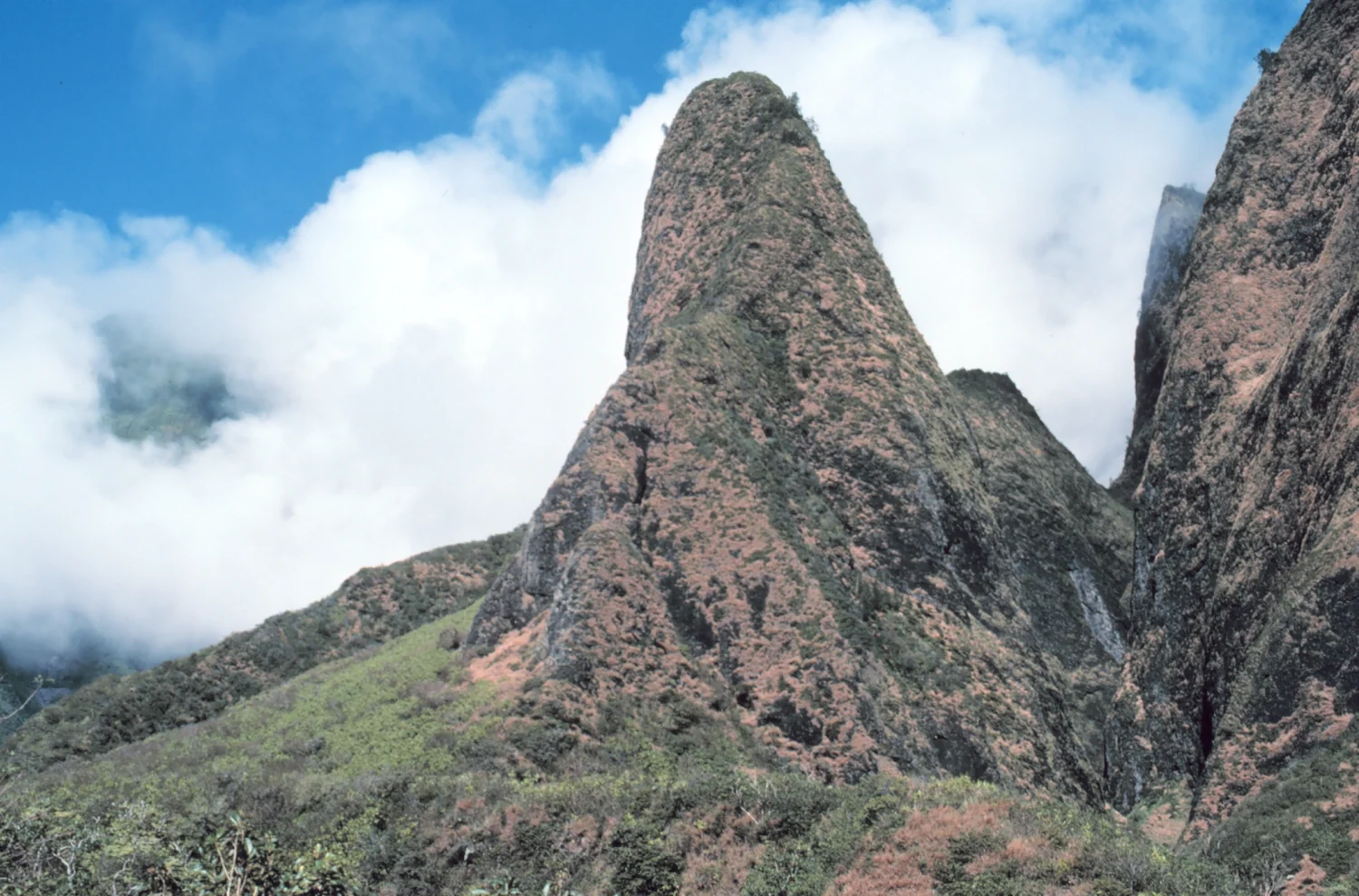 #4Top 10
ʻĪao Needle Lookout Walk
Central Maui · Paved path & steps
A short outing to views of the valley and ʻĪao Needle. Stay on designated paths and check park entry arrangements.
Advance entry reservation required for non-residents. Book ʻĪao Valley reservations
ʻĪao Valley State Monument reopened November 1, 2026. Advance reservations are required for nonresidents.
Photo credit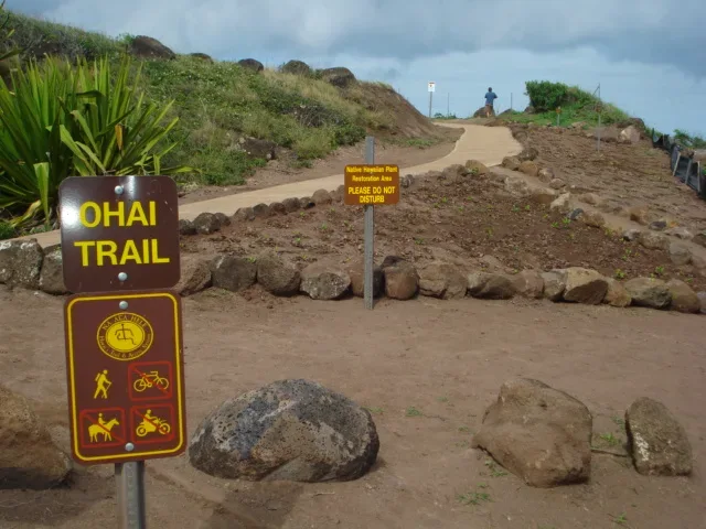 #5Top 10
ʻOhai Loop Trail & Overlook
Northwest Maui · Rolling coastal walk
Explore open, rolling hills beside the coast. Use the marked loop and keep well back from cliff edges.
Photo credit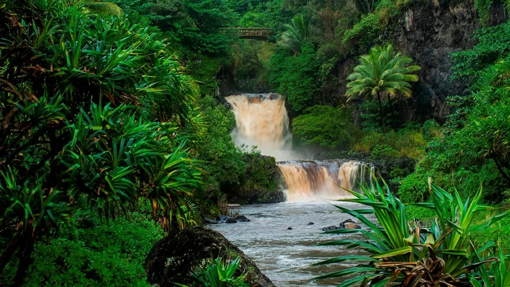 #6Top 10
Kūloa Point Trail
Kīpahulu · 0.5 mi loop
- Short coastal walk
- 0.5 mi total
- Interactive map
A short coastal walk near ʻOheʻo. Follow pool closures.
Photo credit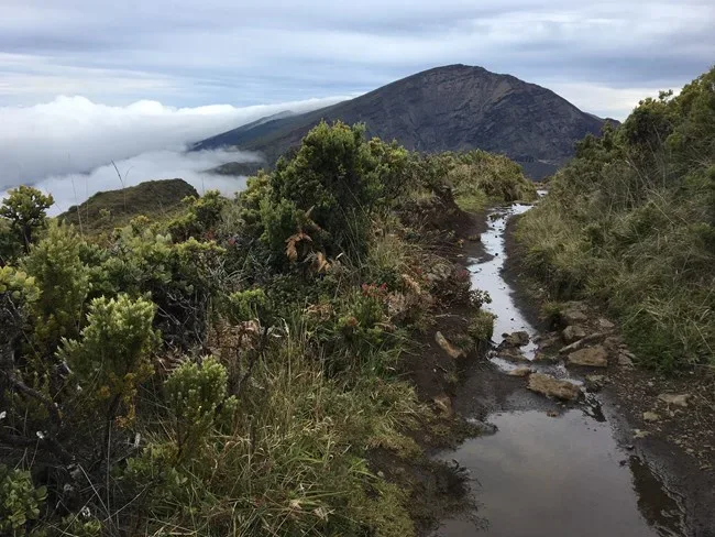 #7Top 10
Halemauʻu Viewpoint
Haleakalā · 2.2 mi round trip
A rocky trail to a crater view. Longer routes are more strenuous.
Photo credit #8Top 10
Ke Ala Loa o Maui / Piʻilani Trail
Waiʻānapanapa · Rocky coastal hike
Walk undulating lava terrain with ocean views. Check park entry arrangements and trail notices before visiting; wear sturdy shoes.
Advance reservation required for non-residents entering through Waiʻānapanapa State Park. Book Waiʻānapanapa reservations
State Parks lists the eastern lot closed for improvements; check its current notice for arrival and trail access.
Photo credit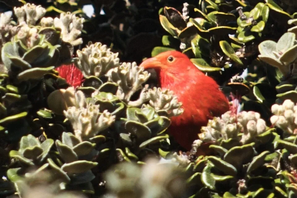 #9Top 10
Hosmer Grove
Haleakalā · 0.54 mi loop
- Easy nature loop
- 0.54 mi loop according to NPS
- Interactive map
A short forest and shrubland walk; listen for native birds.
Sunrise reservation required for Summit District vehicle entry from 3:00 to 7:00 a.m. HST. Book Haleakalā sunrise on Recreation.gov
Photo credit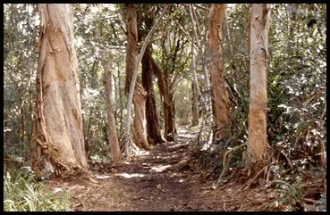 #10Top 10
Waikamoi Ridge Trail
Road to Hāna · Forest walk
A forest and grassland route for a break from the drive. Even this short outing can have muddy, rough footing.
Photo credit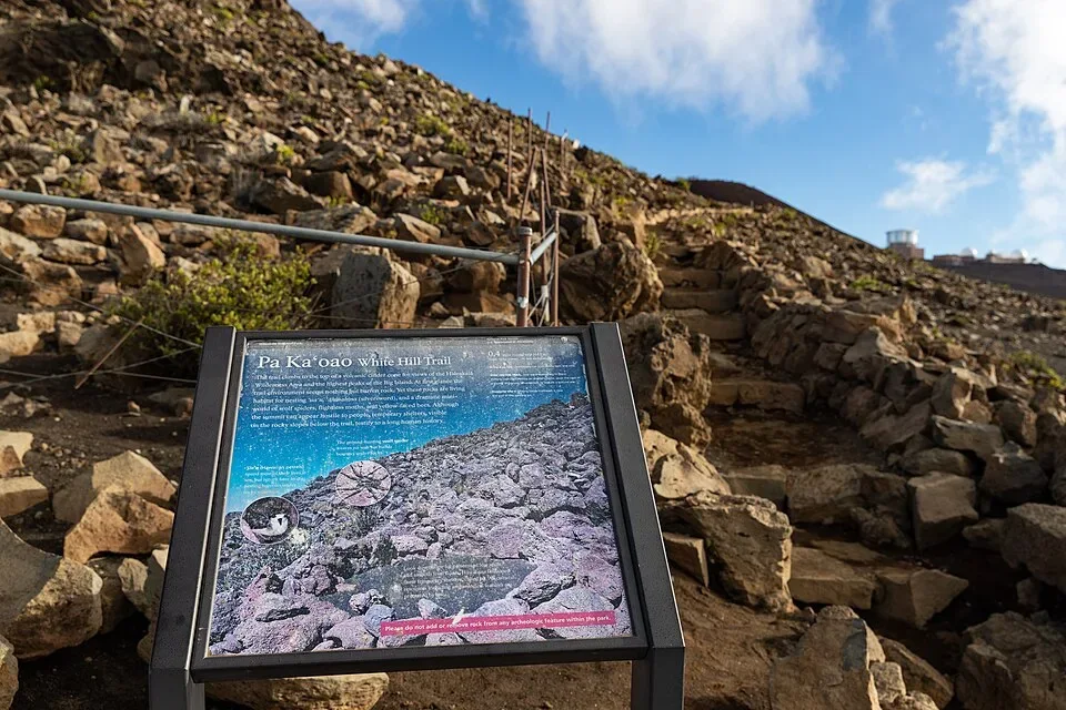 #11
Pā Kaʻoao
Haleakalā · 0.4 mi round trip
- Short uphill walk
- 0.4 mi round trip
- Interactive map
A short climb near the summit visitor center. High elevation adds effort.
Sunrise reservation required for Summit District vehicle entry from 3:00 to 7:00 a.m. HST. Book Haleakalā sunrise on Recreation.gov
Photo credit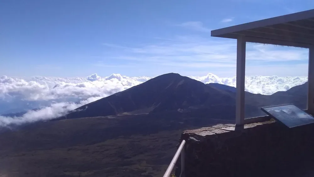 #12
Leleiwi Overlook
Haleakalā · 0.3 mi round trip
- Short rocky walk
- 0.3 mi round trip
- Interactive map
A short walk to a crater viewpoint; weather changes quickly.
Sunrise reservation required for Summit District vehicle entry from 3:00 to 7:00 a.m. HST. Book Haleakalā sunrise on Recreation.gov
Photo credit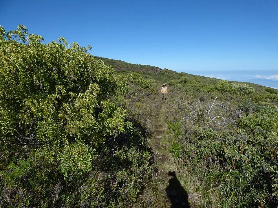 #13
Supply Trail
Haleakalā · 4.6 mi round trip
- Moderate high-elevation hike
- 4.6 mi round trip
- Interactive map
A shrubland route to the Halemauʻu junction.
Sunrise reservation required for Summit District vehicle entry from 3:00 to 7:00 a.m. HST. Book Haleakalā sunrise on Recreation.gov
Photo credit #14
Keʻanae Arboretum Walk
Road to Hāna · Easy paved walk
A relatively level asphalt path through the arboretum. Check roadside parking carefully and leave space for passing traffic.
Photo credit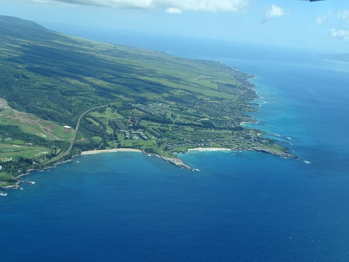 #15
Kapalua Coastal Trail
West Maui · Shoreline walk
Follow the signed shoreline trail between Kapalua Bay and D.T. Fleming Beach Park, passing the dunes at Oneloa Bay.
The resort lists this trail as open from sunrise to sunset.
Photo credit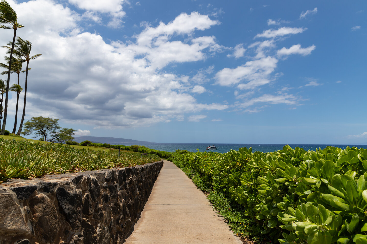 #16
Wailea Coastal Path
South Maui · Oceanfront walk
An approximately 1.5-mile shoreline path beside Wailea’s beaches and resorts.
The State identifies the coastal walk as a public shoreline access route.
Photo credit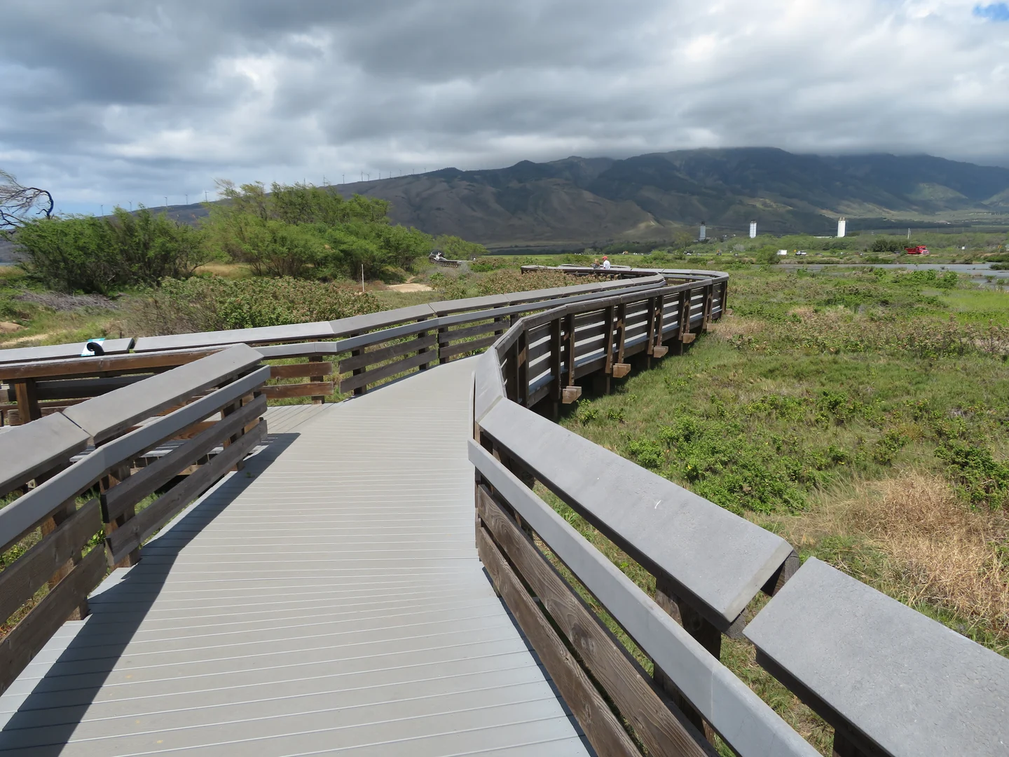 #17
Keālia Coastal Boardwalk
Kīhei–Māʻalaea · Wetland walk
A coastal boardwalk beside Keālia Pond National Wildlife Refuge, with views of habitat for native and migratory waterbirds.
U.S. Fish & Wildlife Service lists boardwalk access daily from sunrise to sunset. Admission is free.
Photo credit- Trail guide#18
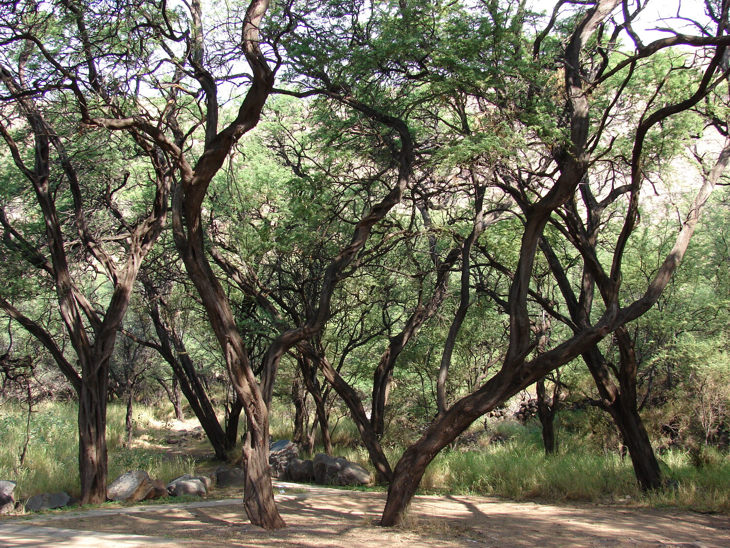
Twin Falls at Wailele Farm
Haʻikū · Managed waterfall walk
Waterfall paths through a privately managed farm along the Road to Hāna. Access depends on weather, water levels and available on-site parking.
Privately managed access. The first Saturday of each month is reserved for Hawaiʻi residents; other days are subject to operator hours and closures.
 #19
Lahaina Pali Trail
Māʻalaea–West Maui · Exposed ridge
A historic trail across an exposed ridge, climbing over rocky terrain to broad views of the coast and nearby islands.
DLNR says the trail remains open. The Māʻalaea-side upper parking lot and the access road beyond the gate remain closed to vehicles.
Photo credit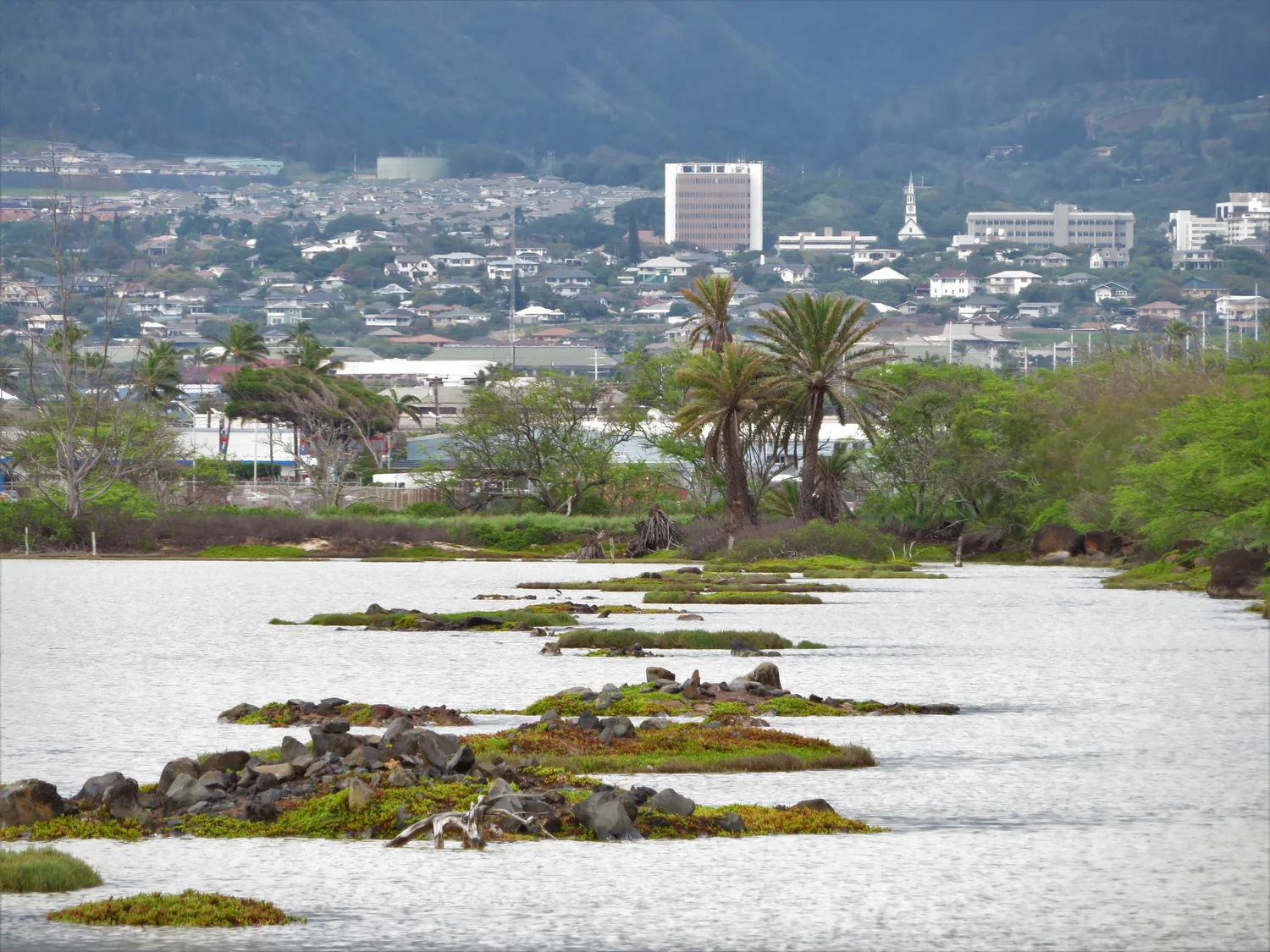 #20
Kanahā Pond Wildlife Sanctuary Walk
Kahului · Birding and wetland walk
Walk the marked path to a viewing shelter over a state wildlife sanctuary. This is separate from Kanahā Beach Park.
The state lists the west viewing path as open sunrise to sunset year-round. East-side paths close during the nesting season.
Photo credit- Trail guide#21
Kapalua Village Walking Trails
West Maui · Paved upland walks
A network of paved paths on a former golf course, with easy and steeper options. This is separate from the Kapalua Coastal Trail.
Kapalua Resort lists temporary public walking access that can be withdrawn without notice.
- Trail guide#22
Kanuimanu Ponds Wildlife Walk
North Kīhei · Wildlife refuge walk
Walk marked levees at Keālia Pond National Wildlife Refuge to look for endangered Hawaiian waterbirds. This is not the coastal boardwalk.
U.S. Fish & Wildlife Service lists the Kanuimanu Ponds levees for visitor walks.


