Waiheʻe Ridge Trail
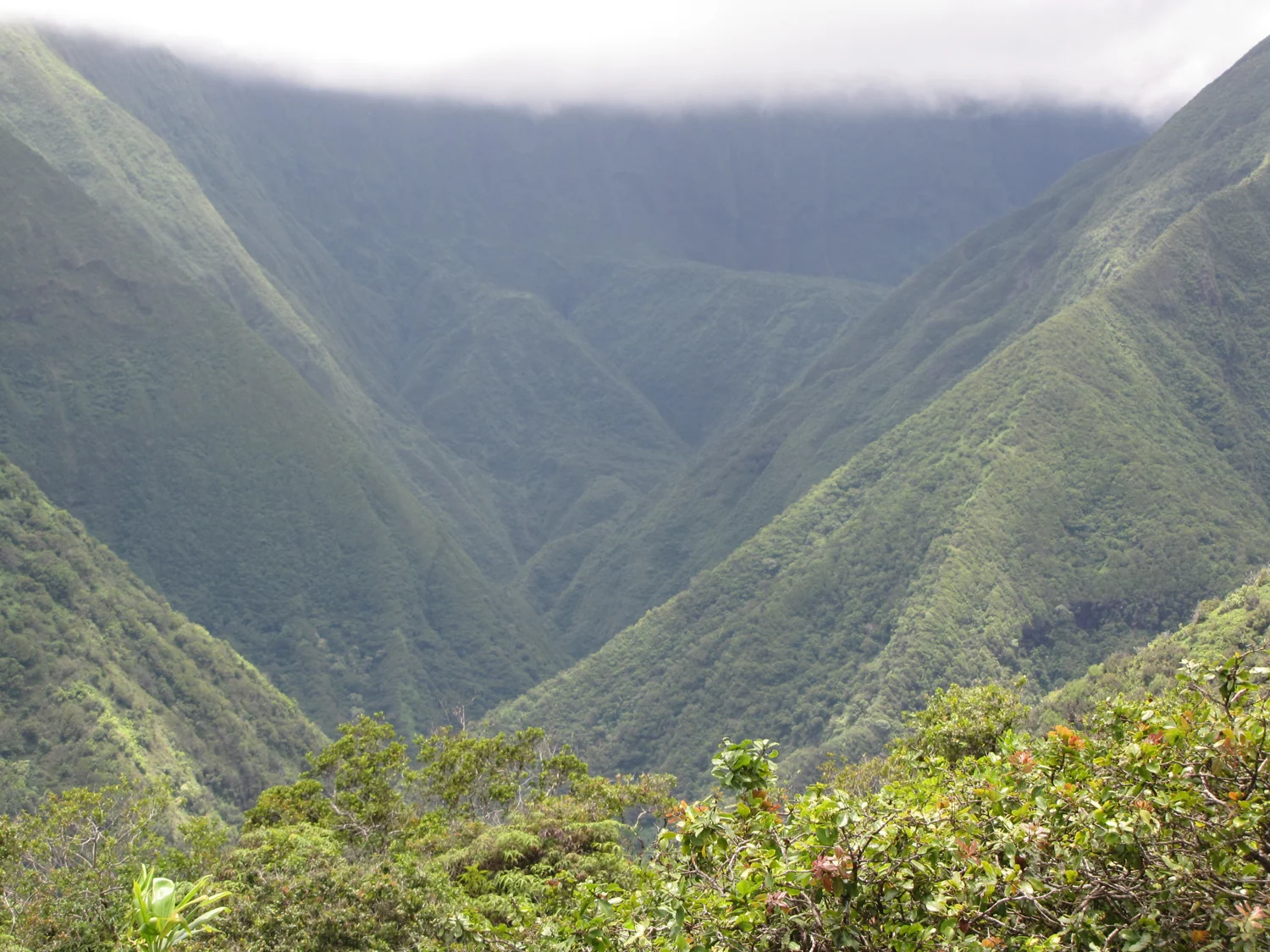
Climb through forest and fern-covered ridges toward Lanilili. Views depend on cloud cover; muddy footing adds effort.
Getting there
Plan B: If access changes, consider this other outing on Maui. Kapalua Coastal Trail. Check its access and weather first. If weather is hazardous, skip outdoor alternatives.
Plan your visit
Follow the posted access road to the signed upper public trail lot. Follow the ridge trail to the designated Lanilili viewpoint. Do not park in the adjacent private lot or use other roads. Turn back if the clay footing becomes slippery or visibility is poor.
Trail details
- Difficulty: Hard
- Route distance: 4.2 miles
- Duration: ~3 hr
Estimated route. Distance varies by starting point. Check the trail source for access.
Interactive trail map
Follow the highlighted route from the public trailhead to Lanilili viewpoint. Select a pin or use the zoom controls for detail.
If the interactive map does not load, use the trail guidance and links on this page.
Route data: Hawaiʻi DLNR / Nā Ala Hele public GIS. Route and access reviewed 2026-11-16. Follow posted closures and trail signs.