Pālāʻau State Park Lookout Walk
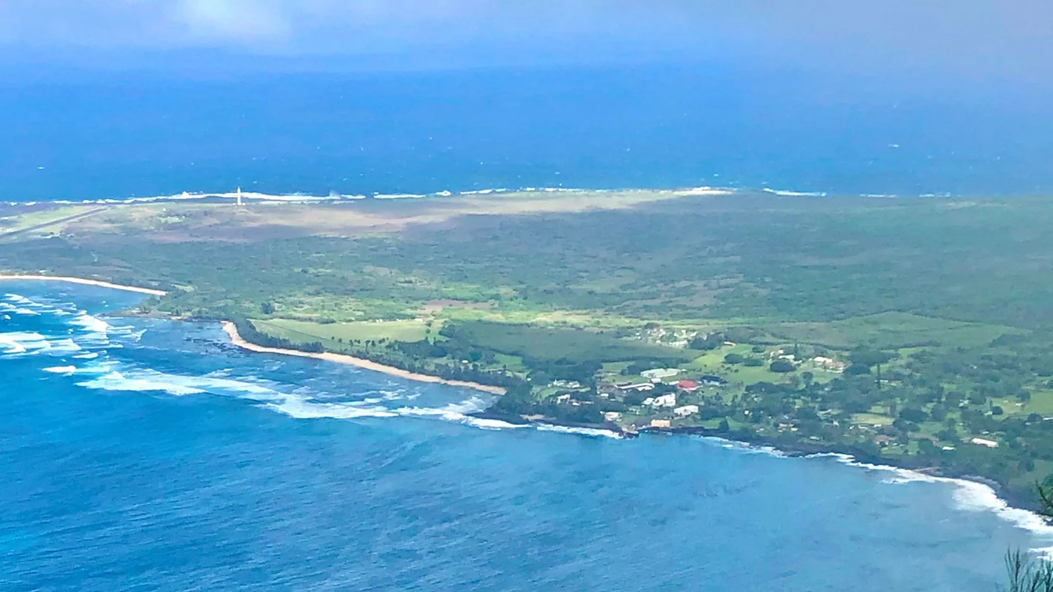
Walk to a view over Kalaupapa Peninsula and read the wayside exhibits. This is a topside visit, not access to the settlement.
Getting there
Plan B: If access changes, consider this other outing on Molokaʻi. Pāpōhaku Shore Walk. Check its access and weather first. If weather is hazardous, skip outdoor alternatives.
Plan your visit
Park at the end of Highway 470 and take the short paved path to the overlook. This is a topside walk. It does not descend to Kalaupapa and does not grant access to the settlement.
Trail details
- Difficulty: Moderate
- Route distance: 0.7 miles
- Duration: ~25 min
Estimated route. Distance varies by starting point. Check the trail source for access.
Interactive trail map
Follow the highlighted route from the public trailhead to the signed Kalaupapa overlook. Select a pin or use the zoom controls for detail.
If the interactive map does not load, use the trail guidance and links on this page.
Route data © OpenStreetMap contributors (ODbL). Route and access reviewed 2026-11-16. Follow posted closures and trail signs.