Puʻukoholā Heiau Interpretive Loop
A half-mile interpretive loop links the visitor center, views of Puʻukoholā and Mailekini heiau, and the shoreline near Pelekane Bay.
Getting there
Use the links for the signed entrance, current conditions, and any arrival restrictions.
Plan B: If access changes, consider this other outing on Hawaiʻi Island. Lapakahi Village Interpretive Trail. Check its access and weather first. If weather is hazardous, skip outdoor alternatives.
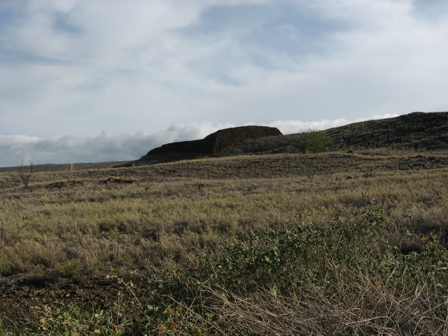
Plan your visit
Park in the signed NPS visitor center lot and follow the paved interpretive loop. The complete loop has steps. For a step-free option, use the signed route from the visitor center to the base of the heiau and return the same way. Stay behind barriers and off the heiau enclosures.
Trail details
- Difficulty: Paved historic walk; steps on full loop
- Route distance: 0.5 miles loop
Distances refer to the route described above. Check posted access and conditions.
Interactive trail map
Follow the highlighted loop from and back to the trailhead. Select a pin or use the zoom controls for detail.
The interactive line follows the marked park loop, not the separate shoreline routes beyond it. The short spur to the visitor center is shown separately.
If the interactive map does not load, use the trail guidance and links on this page.
Dashed line: very short visitor center walkway to the signed loop.
Route data: National Park Service public trail atlas. Route and access reviewed 2026-11-16. Follow posted closures and trail signs.