Maunaulu / Puʻuhuluhulu
Volcanic terrain and a cinder-cone viewpoint.
Getting there
Use the links for the signed entrance, current conditions, and any arrival restrictions.
Plan B: If access changes, consider this other outing on Hawaiʻi Island. Devastation Trail. Check its access and weather first. If weather is hazardous, skip outdoor alternatives.
Plan your visit
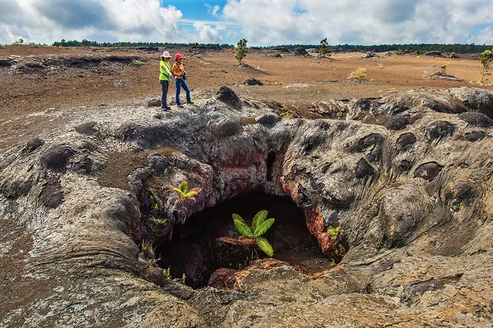
Park only in the signed Maunaulu lot. The NPS puts the official trailhead about 100 yards from the parking area. Follow Nāpau Trail across the lava flows, then ascend Puʻuhuluhulu to the viewpoint. Return the same way. Do not climb Maunaulu or continue farther along Nāpau Trail as part of this route. Keep to the trail and do not disturb the ahu cairns.
Trail details
- Difficulty: Moderate; steep final climb
- Route distance: 2.5 miles round trip
- Duration: 2–3 hours
Distances refer to the route described above. Check posted access and conditions.
Interactive trail map
Follow the highlighted route from the public trailhead to Puʻuhuluhulu viewpoint. Select a pin or use the zoom controls for detail.
The highlighted route is the one-way ascent to Puʻuhuluhulu. Return on the same path. The signed parking approach is described in the NPS guide, not plotted as a separate pin.
If the interactive map does not load, use the trail guidance and links on this page.
Route data: National Park Service public trail atlas. Route and access reviewed 2026-11-16. Follow posted closures and trail signs.