Kīlauea Iki
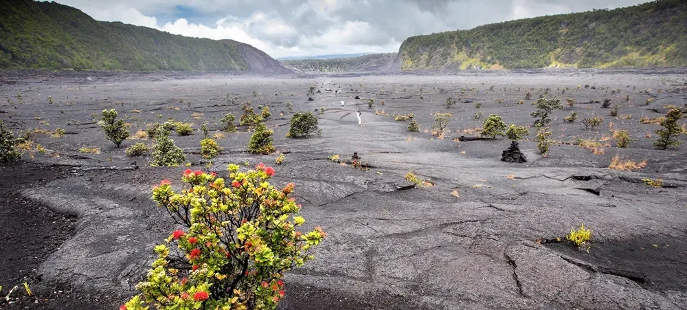
Descend through forest and cross a solidified lava lake.
Getting there
Plan B: If access changes, consider this other outing on Hawaiʻi Island. Devastation Trail. Check its access and weather first. If weather is hazardous, skip outdoor alternatives.
Rating & price sources
Reported by Giftly · observed 2026-10-02. Ratings can change.
Rating location: Hawaii Volcanoes National Park Crater Rim Dr, Volcano, HI
Plan your visit
Start at the signed Kīlauea Iki Overlook trailhead. The National Park Service describes the crater loop as about 3.3 miles and 2–3 hours. Expect steep steps and switchbacks. The overlook lot fills early: use marked spaces only, and try another time if full. Check NPS alerts, air quality, and posted closures before descending.
Trail details
- Difficulty: Moderate, with steep steps and switchbacks
- Route distance: 3.3 miles loop
- Duration: 2–3 hours
Distances refer to the route described above. Check posted access and conditions.
Interactive trail map
Follow the highlighted loop from and back to the trailhead. Select a pin or use the zoom controls for detail.
This map shows the signed crater loop from the Kīlauea Iki Overlook only. It does not include Nāhuku, Byron Ledge, Halemaʻumaʻu or other connector trails.
If the interactive map does not load, use the trail guidance and links on this page.
Route data: National Park Service public trail atlas. Route and access reviewed 2026-11-17. Follow posted closures and trail signs.